Distance to Auburn, Georgia

Calculating Your Route
Just a moment while we process your request...
Location Information
-
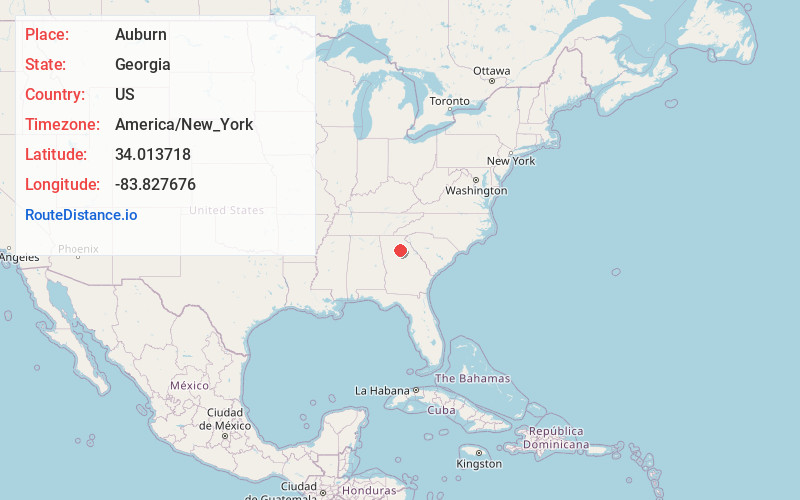
Full AddressAuburn, GA 30011
-
Coordinates34.0137179, -83.8276759
-
LocationAuburn , Georgia , US
-
TimezoneAmerica/New_York
-
Current Local Time4:50:59 AM America/New_YorkFriday, June 6, 2025
-
Page Views0
About Auburn
Auburn is a city in Barrow and Gwinnett counties in the U.S. state of Georgia. As of the 2020 census, the city had a population of 7,495.


Nearby Places
Found 10 places within 50 miles

Winder
6.3 mi
10.1 km
Winder, GA
Get directions

Braselton
7.6 mi
12.2 km
Braselton, GA
Get directions

Lawrenceville
10.1 mi
16.3 km
Lawrenceville, GA
Get directions

Buford
12.5 mi
20.1 km
Buford, GA
Get directions

Loganville
12.8 mi
20.6 km
Loganville, GA 30052
Get directions

Flowery Branch
13.1 mi
21.1 km
Flowery Branch, GA
Get directions

Sugar Hill
13.4 mi
21.6 km
Sugar Hill, GA
Get directions

Suwanee
14.2 mi
22.9 km
Suwanee, GA 30024
Get directions

Snellville
15.4 mi
24.8 km
Snellville, GA
Get directions

Jefferson
16.3 mi
26.2 km
Jefferson, GA
Get directions
Location Links
Local Weather
Weather Information
Coming soon!
Location Map
Static map view of Auburn, Georgia
Browse Places by Distance
Places within specific distances from Auburn
Short Distances
Long Distances
Click any distance to see all places within that range from Auburn. Distances shown in miles (1 mile ≈ 1.61 kilometers).