Distance to Dacula, Georgia

Calculating Your Route
Just a moment while we process your request...
Location Information
-
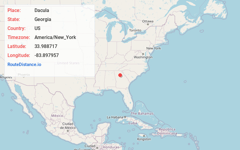
Full AddressDacula, GA
-
Coordinates33.9887165, -83.8979573
-
LocationDacula , Georgia , US
-
TimezoneAmerica/New_York
-
Current Local Time9:52:53 AM America/New_YorkTuesday, June 24, 2025
-
Page Views0
About Dacula
Dacula is a city in Gwinnett County, Georgia, United States, located approximately 37 miles northeast of Atlanta. The population as of the 2010 census was 4,442, and the U.S. Census Bureau estimated the population to be 6,255 as of 2018. In 2020, its population was 6,882.


Nearby Places
Found 10 places within 50 miles

Auburn
4.4 mi
7.1 km
Auburn, GA 30011
Get directions

Lawrenceville
5.8 mi
9.3 km
Lawrenceville, GA
Get directions

Winder
10.2 mi
16.4 km
Winder, GA
Get directions

Loganville
10.3 mi
16.6 km
Loganville, GA 30052
Get directions

Suwanee
10.8 mi
17.4 km
Suwanee, GA 30024
Get directions

Buford
11.0 mi
17.7 km
Buford, GA
Get directions

Sugar Hill
11.2 mi
18.0 km
Sugar Hill, GA
Get directions

Braselton
11.4 mi
18.3 km
Braselton, GA
Get directions

Snellville
11.5 mi
18.5 km
Snellville, GA
Get directions

Flowery Branch
13.7 mi
22.0 km
Flowery Branch, GA
Get directions
Location Links
Local Weather
Weather Information
Coming soon!
Location Map
Static map view of Dacula, Georgia
Browse Places by Distance
Places within specific distances from Dacula
Short Distances
Long Distances
Click any distance to see all places within that range from Dacula. Distances shown in miles (1 mile ≈ 1.61 kilometers).