Distance to Farrandsville, Pennsylvania

Calculating Your Route
Just a moment while we process your request...
Location Information
-
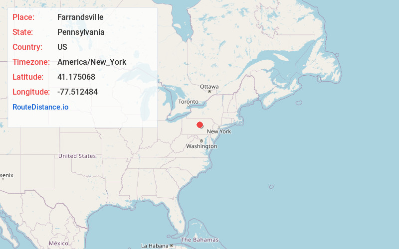
Full AddressFarrandsville, PA 17745
-
Coordinates41.1750682, -77.5124838
-
LocationFarrandsville , Pennsylvania , US
-
TimezoneAmerica/New_York
-
Current Local Time9:23:35 PM America/New_YorkSunday, June 1, 2025
-
Page Views0
About Farrandsville
Farrandsville is an unincorporated community in Colebrook Township in Clinton County in the U.S. state of Pennsylvania. It is on the north side of the West Branch Susquehanna River, approximately 4 miles upstream from Lock Haven at the northern end of Farrandsville Road.
Nearby Places
Found 10 places within 50 miles

Flemington
4.0 mi
6.4 km
Flemington, PA 17745
Get directions

Lock Haven
4.3 mi
6.9 km
Lock Haven, PA 17745
Get directions

Mill Hall
4.9 mi
7.9 km
Mill Hall, PA 17751
Get directions

Dunnstown
5.2 mi
8.4 km
Dunnstown, PA 17745
Get directions

Castanea
5.5 mi
8.9 km
Castanea, PA 17745
Get directions
Dunnstable Township
6.4 mi
10.3 km
Dunnstable Township, PA 17745
Get directions
Salona
6.8 mi
10.9 km
Salona, PA 17751
Get directions
Gallagher
6.9 mi
11.1 km
Gallagher, PA 17745
Get directions

Woolrich
7.2 mi
11.6 km
Woolrich, PA
Get directions
Beech Creek
7.9 mi
12.7 km
Beech Creek, PA 16822
Get directions
Location Links
Local Weather
Weather Information
Coming soon!
Location Map
Static map view of Farrandsville, Pennsylvania
Browse Places by Distance
Places within specific distances from Farrandsville
Short Distances
Long Distances
Click any distance to see all places within that range from Farrandsville. Distances shown in miles (1 mile ≈ 1.61 kilometers).