Distance to Fayette County, Indiana

Calculating Your Route
Just a moment while we process your request...
Location Information
-
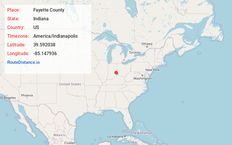
Full AddressFayette County, IN
-
Coordinates39.5920377, -85.1479364
-
LocationIndiana , US
-
TimezoneAmerica/Indianapolis
-
Page Views0
About Fayette County
Fayette County is one of 92 counties in U.S. state of Indiana located in the east central portion of the state. As of 2020, the population was 23,398. Most of the county is rural; land use is farms, pasture and unincorporated woodland.


Nearby Places
Found 10 places within 50 miles

Connersville
3.3 mi
5.3 km
Connersville, IN 47331
Get directions

Everton
3.7 mi
6.0 km
Everton, IN 47331
Get directions
Lyonsville
6.5 mi
10.5 km
Lyonsville, IN 47331
Get directions

Laurel
6.6 mi
10.6 km
Laurel, IN
Get directions
Springersville
6.7 mi
10.8 km
Springersville, IN 47325
Get directions
Harrisburg
6.8 mi
10.9 km
Harrisburg, IN 47331
Get directions
Blooming Grove
7.6 mi
12.2 km
Blooming Grove, IN 47012
Get directions

Glenwood
8.4 mi
13.5 km
Glenwood, IN 46133
Get directions
Brownsville
9.1 mi
14.6 km
Brownsville, IN
Get directions
Andersonville
10.0 mi
16.1 km
Andersonville, IN
Get directions
Location Links
Local Weather
Weather Information
Coming soon!
Location Map
Static map view of Fayette County, Indiana
Browse Places by Distance
Places within specific distances from Fayette County
Short Distances
Long Distances
Click any distance to see all places within that range from Fayette County. Distances shown in miles (1 mile ≈ 1.61 kilometers).