Distance to and from Andersonville, Indiana
Andersonville, IN
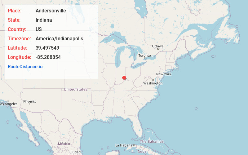
Andersonville
Indiana
US
America/Indianapolis
Location Information
-
Full AddressAndersonville, IN
-
Coordinates39.4975487, -85.2888542
-
LocationAndersonville , Indiana , US
-
TimezoneAmerica/Indianapolis
-
Page Views0
Directions to Nearest Cities
About Andersonville
Andersonville is an unincorporated community in Posey Township in the northwest corner of Franklin County, Indiana, United States.
Nearby Places
Found 10 places within 50 miles

Laurel
5.5 mi
8.9 km
Laurel, IN
Get directions

Richland
5.7 mi
9.2 km
Richland, IN 46173
Get directions
Lake Santee
5.7 mi
9.2 km
Lake Santee, IN 47240
Get directions

Glenwood
8.9 mi
14.3 km
Glenwood, IN 46133
Get directions
Milroy
9.6 mi
15.4 km
Milroy, IN
Get directions

Rushville
11.4 mi
18.3 km
Rushville, IN 46173
Get directions
Everton
11.5 mi
18.5 km
Everton, IN 47331
Get directions

Oldenburg
11.8 mi
19.0 km
Oldenburg, IN
Get directions
Blooming Grove
12.0 mi
19.3 km
Blooming Grove, IN 47012
Get directions

Connersville
12.6 mi
20.3 km
Connersville, IN 47331
Get directions
Laurel
5.5 mi
8.9 km
Laurel, IN
Richland
5.7 mi
9.2 km
Richland, IN 46173
Lake Santee
5.7 mi
9.2 km
Lake Santee, IN 47240
Glenwood
8.9 mi
14.3 km
Glenwood, IN 46133
Milroy
9.6 mi
15.4 km
Milroy, IN
Rushville
11.4 mi
18.3 km
Rushville, IN 46173
Everton
11.5 mi
18.5 km
Everton, IN 47331
Oldenburg
11.8 mi
19.0 km
Oldenburg, IN
Blooming Grove
12.0 mi
19.3 km
Blooming Grove, IN 47012
Connersville
12.6 mi
20.3 km
Connersville, IN 47331
Location Links
Local Weather
Weather Information
Coming soon!
Location Map
Static map view of Andersonville, Indiana
Browse Places by Distance
Places within specific distances from Andersonville
Short Distances
Long Distances
Click any distance to see all places within that range from Andersonville. Distances shown in miles (1 mile ≈ 1.61 kilometers).