Distance to Felda, Florida

Calculating Your Route
Just a moment while we process your request...
Location Information
-
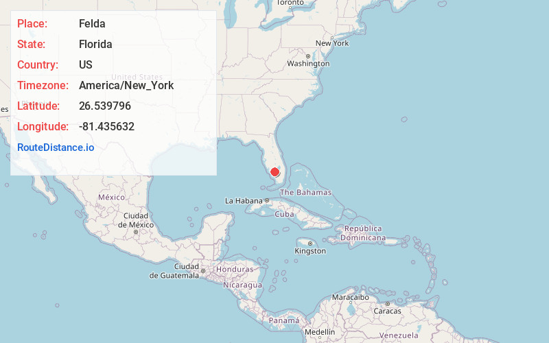
Full AddressFelda, FL 34142
-
Coordinates26.5397964, -81.4356323
-
LocationFelda , Florida , US
-
TimezoneAmerica/New_York
-
Current Local Time8:29:50 AM America/New_YorkSunday, June 15, 2025
-
Page Views0
About Felda
Felda is an unincorporated community in Hendry County, Florida, United States, located east of Fort Myers, on State Road 29. The name is a portmanteau of Felix and Ida Taylor's first names.


Nearby Places
Found 10 places within 50 miles

Keri
5.3 mi
8.5 km
Keri, FL 33935
Get directions

Lehigh Acres
13.1 mi
21.1 km
Lehigh Acres, FL
Get directions
Fort Denaud
14.3 mi
23.0 km
Fort Denaud, FL 33935
Get directions

Port LaBelle
15.1 mi
24.3 km
Port LaBelle, FL 33935
Get directions

LaBelle
15.3 mi
24.6 km
LaBelle, FL 33935
Get directions

Alva
16.2 mi
26.1 km
Alva, FL 33920
Get directions

Gateway
19.6 mi
31.5 km
Gateway, FL 33913
Get directions
Muce
20.2 mi
32.5 km
Muce, FL 33935
Get directions
Ortona
20.3 mi
32.7 km
Ortona, FL 33471
Get directions

Buckingham
20.6 mi
33.2 km
Buckingham, FL
Get directions
Location Links
Local Weather
Weather Information
Coming soon!
Location Map
Static map view of Felda, Florida
Browse Places by Distance
Places within specific distances from Felda
Short Distances
Long Distances
Click any distance to see all places within that range from Felda. Distances shown in miles (1 mile ≈ 1.61 kilometers).