Distance to Port LaBelle, Florida

Calculating Your Route
Just a moment while we process your request...
Location Information
-
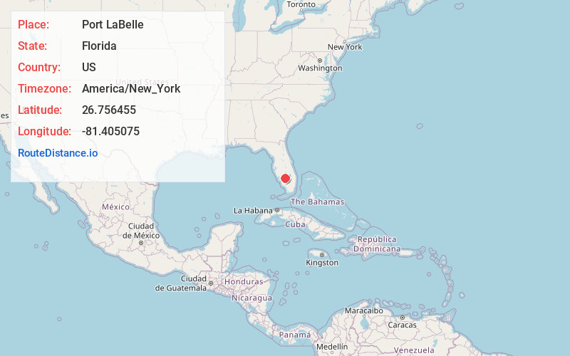
Full AddressPort LaBelle, FL 33935
-
Coordinates26.7564546, -81.4050752
-
LocationPort LaBelle , Florida , US
-
TimezoneAmerica/New_York
-
Current Local Time5:22:52 AM America/New_YorkWednesday, June 18, 2025
-
Page Views0
About Port LaBelle
Port LaBelle is a census-designated place in Hendry and Glades counties, Florida, United States. The population was 5,450 at the 2020 census, up from 3,530 at the 2010 census. It is part of the Clewiston, Florida Micropolitan Statistical Area.

Nearby Places
Found 10 places within 50 miles

Lehigh Acres
16.3 mi
26.2 km
Lehigh Acres, FL
Get directions

Gateway
24.6 mi
39.6 km
Gateway, FL 33913
Get directions

Clewiston
29.1 mi
46.8 km
Clewiston, FL 33440
Get directions

Fort Myers
29.2 mi
47.0 km
Fort Myers, FL
Get directions

San Carlos Park
31.6 mi
50.9 km
San Carlos Park, FL
Get directions

Villas
32.0 mi
51.5 km
Villas, FL
Get directions

Estero
33.2 mi
53.4 km
Estero, FL
Get directions

Cypress Lake
34.0 mi
54.7 km
Cypress Lake, FL 33919
Get directions

McGregor
34.2 mi
55.0 km
McGregor, FL
Get directions

Cape Coral
35.3 mi
56.8 km
Cape Coral, FL
Get directions
Location Links
Local Weather
Weather Information
Coming soon!
Location Map
Static map view of Port LaBelle, Florida
Browse Places by Distance
Places within specific distances from Port LaBelle
Short Distances
Long Distances
Click any distance to see all places within that range from Port LaBelle. Distances shown in miles (1 mile ≈ 1.61 kilometers).