Distance to Felt, Oklahoma

Calculating Your Route
Just a moment while we process your request...
Location Information
-
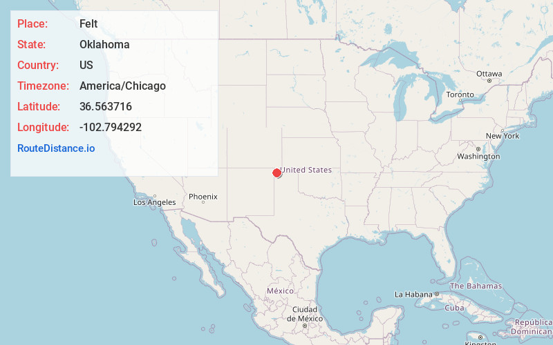
Full AddressFelt, OK 73937
-
Coordinates36.5637161, -102.7942917
-
LocationFelt , Oklahoma , US
-
TimezoneAmerica/Chicago
-
Current Local Time1:38:18 PM America/ChicagoMonday, May 19, 2025
-
Page Views0
About Felt
Felt is a small unincorporated community and census-designated place in Cimarron County, Oklahoma, United States. As of the 2020 census, the town’s population was 77. It was named for C.F.W. Felt of the Santa Fe Railroad.


Nearby Places
Found 7 places within 50 miles

Texline
18.1 mi
29.1 km
Texline, TX 79087
Get directions

Boise City
19.3 mi
31.1 km
Boise City, OK 73933
Get directions

Clayton
23.0 mi
37.0 km
Clayton, NM 88415
Get directions

Keyes
34.4 mi
55.4 km
Keyes, OK 73947
Get directions

Dalhart
38.2 mi
61.5 km
Dalhart, TX 79022
Get directions

Campo
39.2 mi
63.1 km
Campo, CO 81029
Get directions

Stratford
43.1 mi
69.4 km
Stratford, TX 79084
Get directions
Location Links
Local Weather
Weather Information
Coming soon!
Location Map
Static map view of Felt, Oklahoma
Browse Places by Distance
Places within specific distances from Felt
Short Distances
Long Distances
Click any distance to see all places within that range from Felt. Distances shown in miles (1 mile ≈ 1.61 kilometers).