Distance to Ferris, Texas

Calculating Your Route
Just a moment while we process your request...
Location Information
-
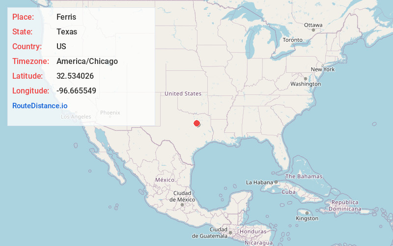
Full AddressFerris, TX
-
Coordinates32.5340262, -96.6655488
-
LocationFerris , Texas , US
-
TimezoneAmerica/Chicago
-
Current Local Time10:02:34 AM America/ChicagoSaturday, June 21, 2025
-
Page Views0
About Ferris
Ferris is a city in Dallas and Ellis counties in the U.S. state of Texas. It is 20 miles south of downtown Dallas. The population was 2,788 in 2020.


Nearby Places
Found 10 places within 50 miles

Wilmer
4.5 mi
7.2 km
Wilmer, TX
Get directions

Lancaster
6.6 mi
10.6 km
Lancaster, TX
Get directions

Hutchins
8.4 mi
13.5 km
Hutchins, TX
Get directions

Red Oak
8.7 mi
14.0 km
Red Oak, TX
Get directions

Seagoville
10.4 mi
16.7 km
Seagoville, TX 75159
Get directions

Glenn Heights
11.3 mi
18.2 km
Glenn Heights, TX 75154
Get directions

DeSoto
11.8 mi
19.0 km
DeSoto, TX 75115
Get directions

Ovilla
12.9 mi
20.8 km
Ovilla, TX
Get directions

Balch Springs
13.7 mi
22.0 km
Balch Springs, TX
Get directions

Crandall
13.8 mi
22.2 km
Crandall, TX 75114
Get directions
Location Links
Local Weather
Weather Information
Coming soon!
Location Map
Static map view of Ferris, Texas
Browse Places by Distance
Places within specific distances from Ferris
Short Distances
Long Distances
Click any distance to see all places within that range from Ferris. Distances shown in miles (1 mile ≈ 1.61 kilometers).