Distance to Ferris Township, Michigan

Calculating Your Route
Just a moment while we process your request...
Location Information
-
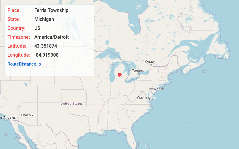
Full AddressFerris Township, MI
-
Coordinates43.3518741, -84.9193082
-
LocationFerris Township , Michigan , US
-
TimezoneAmerica/Detroit
-
Current Local Time5:50:42 PM America/DetroitThursday, June 5, 2025
-
Page Views0
About Ferris Township
Ferris Township is a civil township of Montcalm County in the U.S. state of Michigan. The population was 1,331 at the 2020 census.
The township was established in 1857.
Nearby Places
Found 10 places within 50 miles

Vestaburg
3.3 mi
5.3 km
Vestaburg, MI 48891
Get directions

Elm Hall
4.3 mi
6.9 km
Elm Hall, MI 48877
Get directions
Cedar Lake
4.7 mi
7.6 km
Cedar Lake, MI 48891
Get directions

Riverdale
4.8 mi
7.7 km
Riverdale, MI 48877
Get directions
Sumner
6.1 mi
9.8 km
Sumner, MI 48889
Get directions

Crystal
6.1 mi
9.8 km
Crystal, MI 48818
Get directions
McBride
6.2 mi
10.0 km
McBride, MI
Get directions

Edmore
7.1 mi
11.4 km
Edmore, MI 48829
Get directions
Westville
8.3 mi
13.4 km
Westville, MI 48888
Get directions

Crystal Township
8.4 mi
13.5 km
Crystal Township, MI
Get directions
Location Links
Local Weather
Weather Information
Coming soon!
Location Map
Static map view of Ferris Township, Michigan
Browse Places by Distance
Places within specific distances from Ferris Township
Short Distances
Long Distances
Click any distance to see all places within that range from Ferris Township. Distances shown in miles (1 mile ≈ 1.61 kilometers).