Distance to McBride, Michigan

Calculating Your Route
Just a moment while we process your request...
Location Information
-
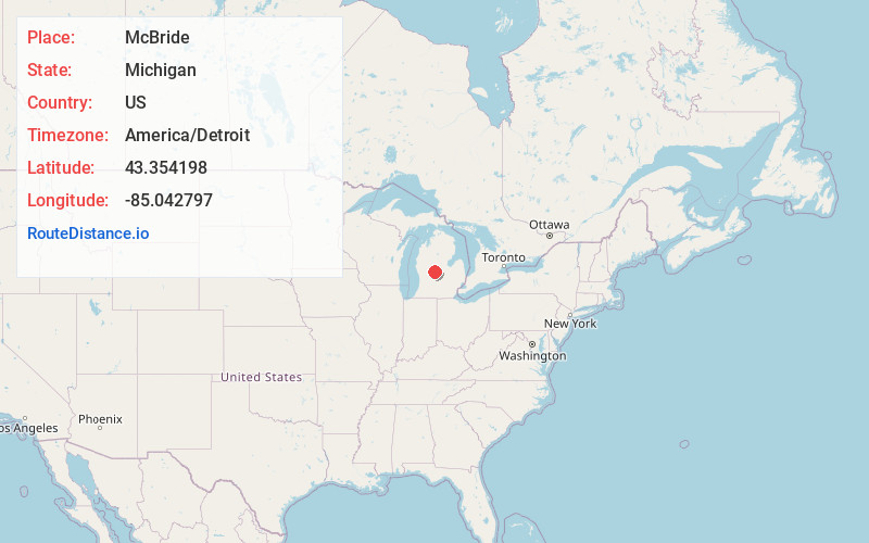
Full AddressMcBride, MI
-
Coordinates43.3541982, -85.0427968
-
LocationMcBride , Michigan , US
-
TimezoneAmerica/Detroit
-
Current Local Time11:34:30 AM America/DetroitFriday, June 20, 2025
-
Page Views0
About McBride
McBride is a village in Montcalm County in the U.S. state of Michigan. The population was 189 at the 2020 census. The village is located within Day Township. The post office for the village, with ZIP code 48852, is named "McBrides" and provides P.O. box service to the village.
Nearby Places
Found 10 places within 50 miles

Edmore
3.7 mi
6.0 km
Edmore, MI 48829
Get directions

Stanton
4.7 mi
7.6 km
Stanton, MI 48888
Get directions

Crystal
9.0 mi
14.5 km
Crystal, MI 48818
Get directions

Sheridan
9.9 mi
15.9 km
Sheridan, MI 48884
Get directions

Elm Hall
10.5 mi
16.9 km
Elm Hall, MI 48877
Get directions

Riverdale
10.6 mi
17.1 km
Riverdale, MI 48877
Get directions

Lakeview
13.4 mi
21.6 km
Lakeview, MI 48850
Get directions

Winn
13.7 mi
22.0 km
Winn, MI 48858
Get directions

Carson City
15.7 mi
25.3 km
Carson City, MI 48811
Get directions

Trufant
15.9 mi
25.6 km
Trufant, MI 49347
Get directions
Location Links
Local Weather
Weather Information
Coming soon!
Location Map
Static map view of McBride, Michigan
Browse Places by Distance
Places within specific distances from McBride
Short Distances
Long Distances
Click any distance to see all places within that range from McBride. Distances shown in miles (1 mile ≈ 1.61 kilometers).