Distance to Sheridan, Michigan

Calculating Your Route
Just a moment while we process your request...
Location Information
-
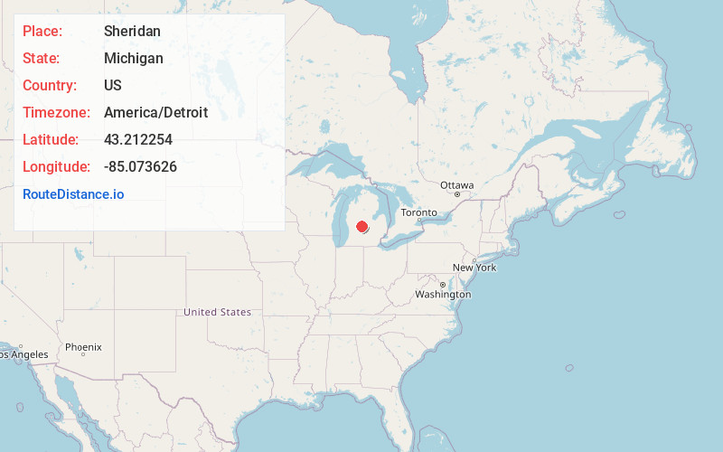
Full AddressSheridan, MI 48884
-
Coordinates43.2122541, -85.0736264
-
LocationSheridan , Michigan , US
-
TimezoneAmerica/Detroit
-
Current Local Time10:41:45 AM America/DetroitSunday, May 18, 2025
-
Page Views0
About Sheridan
Sheridan is a village in Montcalm County in the U.S. state of Michigan. The population was 692 at the 2020 census, up from 649 in 2010.

Nearby Places
Found 10 places within 50 miles

Stanton
5.6 mi
9.0 km
Stanton, MI 48888
Get directions

Crystal
8.7 mi
14.0 km
Crystal, MI 48818
Get directions

Greenville
9.3 mi
15.0 km
Greenville, MI 48838
Get directions

Belding
11.1 mi
17.9 km
Belding, MI 48809
Get directions

Carson City
11.7 mi
18.8 km
Carson City, MI 48811
Get directions

Edmore
13.6 mi
21.9 km
Edmore, MI 48829
Get directions

Ionia
15.5 mi
24.9 km
Ionia, MI 48846
Get directions

Lyons
17.1 mi
27.5 km
Lyons, MI 48851
Get directions

Lakeview
19.1 mi
30.7 km
Lakeview, MI 48850
Get directions

Saranac
20.8 mi
33.5 km
Saranac, MI 48881
Get directions
Location Links
Local Weather
Weather Information
Coming soon!
Location Map
Static map view of Sheridan, Michigan
Browse Places by Distance
Places within specific distances from Sheridan
Short Distances
Long Distances
Click any distance to see all places within that range from Sheridan. Distances shown in miles (1 mile ≈ 1.61 kilometers).