Distance to Feura Bush, New York

Calculating Your Route
Just a moment while we process your request...
Location Information
-
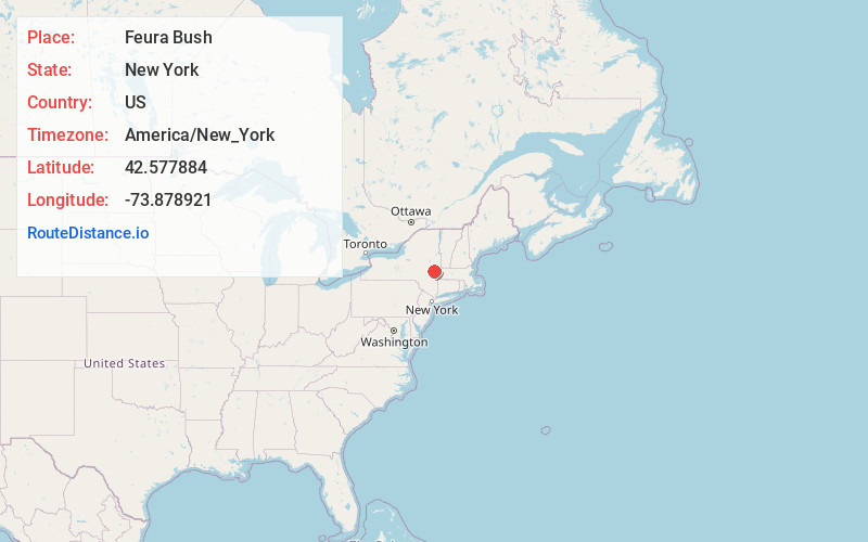
Full AddressFeura Bush, NY
-
Coordinates42.5778842, -73.8789212
-
LocationFeura Bush , New York , US
-
TimezoneAmerica/New_York
-
Current Local Time10:23:33 AM America/New_YorkSunday, June 1, 2025
-
Page Views0
About Feura Bush
Feura Bush is a hamlet in the town of New Scotland, Albany County, New York, United States. It is in the southeastern corner of the town, along the Bethlehem town-line, eight miles south of Albany. The Feura Bush ZIP Code includes parts of the town of Bethlehem.

Nearby Places
Found 10 places within 50 miles

South Albany
2.5 mi
4.0 km
South Albany, Bethlehem, NY 12158
Get directions
Spawn Hollow
2.7 mi
4.3 km
Spawn Hollow, Bethlehem, NY 12158
Get directions

Bethlehem
3.1 mi
5.0 km
Bethlehem, NY
Get directions
South Bethlehem
3.6 mi
5.8 km
South Bethlehem, NY
Get directions

Slingerlands
3.6 mi
5.8 km
Slingerlands, NY 12159
Get directions
Bethlehem Heights
3.8 mi
6.1 km
Bethlehem Heights, South Bethlehem, NY 12158
Get directions
New Scotland
3.9 mi
6.3 km
New Scotland, NY 12159
Get directions

Clarksville
4.3 mi
6.9 km
Clarksville, NY
Get directions
Elsmere
4.3 mi
6.9 km
Elsmere, NY 12054
Get directions

Voorheesville
5.8 mi
9.3 km
Voorheesville, NY 12186
Get directions
Location Links
Local Weather
Weather Information
Coming soon!
Location Map
Static map view of Feura Bush, New York
Browse Places by Distance
Places within specific distances from Feura Bush
Short Distances
Long Distances
Click any distance to see all places within that range from Feura Bush. Distances shown in miles (1 mile ≈ 1.61 kilometers).