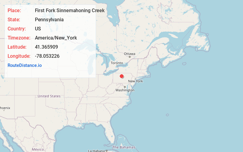
Distance to First Fork Sinnemahoning Creek, Pennsylvania

Calculating Your Route
Just a moment while we process your request...
Location Information
-
Full AddressFirst Fork Sinnemahoning Creek, Grove Township, PA 15861
-
Coordinates41.3659088, -78.0532257
-
LocationGrove Township , Pennsylvania , US
-
TimezoneAmerica/New_York
-
Current Local Time12:55:38 AM America/New_YorkSunday, May 25, 2025
-
Page Views1
Nearby Places
Found 10 places within 50 miles

Wyside
3.8 mi
6.1 km
Wyside, PA 15861
Get directions

Driftwood
4.6 mi
7.4 km
Driftwood, PA 15832
Get directions
Castle Garden
5.1 mi
8.2 km
Castle Garden, Gibson Township, PA 15832
Get directions
Huntley
5.1 mi
8.2 km
Huntley, Gibson Township, PA 15832
Get directions
Lushbaugh Run
6.2 mi
10.0 km
Lushbaugh Run, Pennsylvania
Get directions

Cameron County
6.8 mi
10.9 km
Cameron County, PA
Get directions
East Keating Township
7.2 mi
11.6 km
East Keating Township, PA
Get directions
Leidy
7.3 mi
11.7 km
Leidy, PA 17764
Get directions
Sterling Run
8.3 mi
13.4 km
Sterling Run, Lumber Township, PA 15832
Get directions

Berge Run
9.2 mi
14.8 km
Berge Run, Pennsylvania 16720
Get directions
Location Links
Local Weather
Weather Information
Coming soon!
Location Map
Static map view of First Fork Sinnemahoning Creek, Pennsylvania
Browse Places by Distance
Places within specific distances from First Fork Sinnemahoning Creek
Short Distances
Long Distances
Click any distance to see all places within that range from First Fork Sinnemahoning Creek. Distances shown in miles (1 mile ≈ 1.61 kilometers).