Distance to Flanders, Alabama

Calculating Your Route
Just a moment while we process your request...
Location Information
-
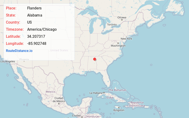
Full AddressFlanders, AL 35961
-
Coordinates34.2073166, -85.902748
-
LocationAlabama , US
-
TimezoneAmerica/Chicago
-
Current Local Time2:46:28 PM America/ChicagoFriday, June 20, 2025
-
Page Views0
Nearby Places
Found 10 places within 50 miles

Scrougeout
2.6 mi
4.2 km
Scrougeout, AL 35961
Get directions
Lay Springs
3.8 mi
6.1 km
Lay Springs, AL 35961
Get directions
Keener
4.5 mi
7.2 km
Keener, AL 35954
Get directions

Collinsville
4.6 mi
7.4 km
Collinsville, AL 35961
Get directions
Copeland Bridge
6.3 mi
10.1 km
Copeland Bridge, AL 35961
Get directions
Murrycross
6.5 mi
10.5 km
Murrycross, AL 35901
Get directions
Rodentown
6.8 mi
10.9 km
Rodentown, AL 35962
Get directions
Dawson
6.8 mi
10.9 km
Dawson, AL 35963
Get directions
Duck Springs
7.0 mi
11.3 km
Duck Springs, AL 35954
Get directions
Bristow
7.2 mi
11.6 km
Bristow, AL 35983
Get directions
Location Links
Local Weather
Weather Information
Coming soon!
Location Map
Static map view of Flanders, Alabama
Browse Places by Distance
Places within specific distances from Flanders
Short Distances
Long Distances
Click any distance to see all places within that range from Flanders. Distances shown in miles (1 mile ≈ 1.61 kilometers).