Distance to Fleatown, Ohio

Calculating Your Route
Just a moment while we process your request...
Location Information
-
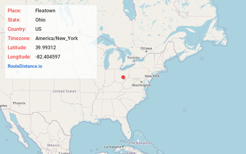
Full AddressFleatown, Licking Township, OH 43056
-
Coordinates39.9931204, -82.4045969
-
LocationLicking Township , Ohio , US
-
TimezoneAmerica/New_York
-
Current Local Time11:20:30 AM America/New_YorkFriday, June 27, 2025
-
Page Views0
About Fleatown
Fleatown is an unincorporated community in Licking County, Ohio, United States. Fleatown is located on Ohio State Route 13, 4.5 miles south of Newark.
According to Frank K. Gallant, Fleatown may have been so named on account of its unsophisticated character.
Nearby Places
Found 10 places within 50 miles

Jacksontown
2.4 mi
3.9 km
Jacksontown, OH
Get directions
Atherton
2.8 mi
4.5 km
Atherton, OH 43056
Get directions

Heath
2.9 mi
4.7 km
Heath, OH
Get directions
Harbor Hills
4.2 mi
6.8 km
Harbor Hills, OH
Get directions
Linnville
4.2 mi
6.8 km
Linnville, Bowling Green Township, OH 43076
Get directions

Newark
4.5 mi
7.2 km
Newark, OH
Get directions
Firemans Park
5.0 mi
8.0 km
Firemans Park, Thornport, OH 43076
Get directions

Hebron
5.1 mi
8.2 km
Hebron, OH 43025
Get directions

Buckeye Lake
5.5 mi
8.9 km
Buckeye Lake, OH
Get directions
Swans
5.6 mi
9.0 km
Swans, Newark, OH 43055
Get directions
Location Links
Local Weather
Weather Information
Coming soon!
Location Map
Static map view of Fleatown, Ohio
Browse Places by Distance
Places within specific distances from Fleatown
Short Distances
Long Distances
Click any distance to see all places within that range from Fleatown. Distances shown in miles (1 mile ≈ 1.61 kilometers).