Distance to Fleming, Ohio

Calculating Your Route
Just a moment while we process your request...
Location Information
-
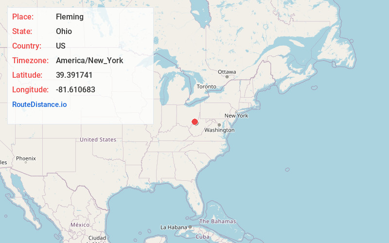
Full AddressFleming, OH 45729
-
Coordinates39.3917409, -81.6106828
-
LocationFleming , Ohio , US
-
TimezoneAmerica/New_York
-
Current Local Time10:26:41 AM America/New_YorkSaturday, June 21, 2025
-
Page Views0
About Fleming
Fleming is a small unincorporated community in rural eastern Barlow Township, Washington County, Ohio, United States.
Located along State Route 550 between Barlow and Marietta, it is surrounded by farmland dotted with occasional trees. It lies near the Wayne National Forest.

Nearby Places
Found 10 places within 50 miles

Vincent
3.4 mi
5.5 km
Vincent, OH 45784
Get directions

Vienna
5.6 mi
9.0 km
Vienna, WV
Get directions

Central
5.7 mi
9.2 km
Central, WV 26105
Get directions
Napier
5.8 mi
9.3 km
Napier, Fairfield Township, OH 45784
Get directions

Boaz
6.2 mi
10.0 km
Boaz, WV
Get directions
North Hills
7.4 mi
11.9 km
North Hills, WV
Get directions

Blennerhassett Island
8.3 mi
13.4 km
Blennerhassett Island, West Virginia 26101
Get directions

Belpre
8.4 mi
13.5 km
Belpre, OH 45714
Get directions

Marietta
8.5 mi
13.7 km
Marietta, OH 45750
Get directions

Williamstown
8.7 mi
14.0 km
Williamstown, WV 26187
Get directions
Location Links
Local Weather
Weather Information
Coming soon!
Location Map
Static map view of Fleming, Ohio
Browse Places by Distance
Places within specific distances from Fleming
Short Distances
Long Distances
Click any distance to see all places within that range from Fleming. Distances shown in miles (1 mile ≈ 1.61 kilometers).