Distance to Vincent, Ohio

Calculating Your Route
Just a moment while we process your request...
Location Information
-
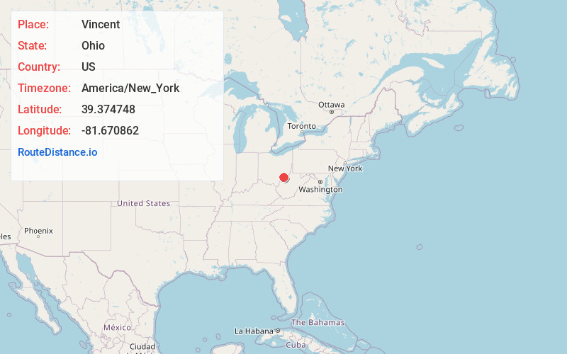
Full AddressVincent, OH 45784
-
Coordinates39.3747481, -81.6708617
-
LocationVincent , Ohio , US
-
TimezoneAmerica/New_York
-
Current Local Time1:00:16 AM America/New_YorkSunday, June 22, 2025
-
Page Views0
About Vincent
Vincent is a census-designated place in southern Barlow Township, Washington County, Ohio, United States. It lies along State Route 339 near Tupper Creek, a subsidiary of the Little Hocking River, which in turn meets the Ohio River at Little Hocking to the south. The population was 329 at the 2020 census.


Nearby Places
Found 10 places within 50 miles

Vienna
7.3 mi
11.7 km
Vienna, WV
Get directions

Blennerhassett Island
7.4 mi
11.9 km
Blennerhassett Island, West Virginia 26101
Get directions

Little Hocking
8.0 mi
12.9 km
Little Hocking, OH 45742
Get directions

Belpre
8.7 mi
14.0 km
Belpre, OH 45714
Get directions

Washington
9.0 mi
14.5 km
Washington, WV 26181
Get directions

Boaz
9.1 mi
14.6 km
Boaz, WV
Get directions

North Hills
9.4 mi
15.1 km
North Hills, WV
Get directions

Parkersburg
9.6 mi
15.4 km
Parkersburg, WV
Get directions

Lubeck
9.9 mi
15.9 km
Lubeck, WV
Get directions

Waterford
11.7 mi
18.8 km
Waterford, OH 45786
Get directions
Location Links
Local Weather
Weather Information
Coming soon!
Location Map
Static map view of Vincent, Ohio
Browse Places by Distance
Places within specific distances from Vincent
Short Distances
Long Distances
Click any distance to see all places within that range from Vincent. Distances shown in miles (1 mile ≈ 1.61 kilometers).