Distance to Waterford, Ohio

Calculating Your Route
Just a moment while we process your request...
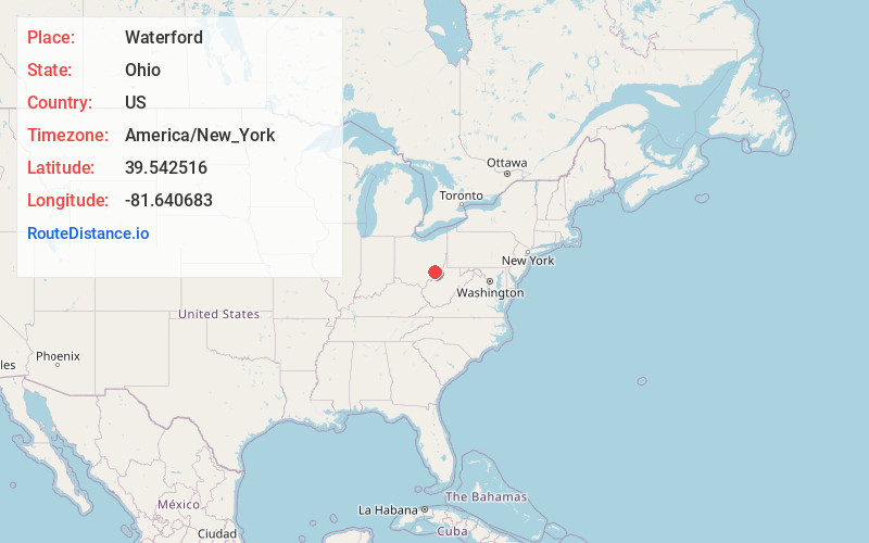
Location Information
-
Full AddressWaterford, OH 45786
-
Coordinates39.5425161, -81.6406827
-
LocationWaterford , Ohio , US
-
TimezoneAmerica/New_York
-
Current Local Time6:41:54 PM America/New_YorkWednesday, June 18, 2025
-
Page Views0
About Waterford
Waterford is a census-designated place in central Waterford Township, Washington County, Ohio, United States. It is located on State Route 339 across the Muskingum River from the village of Beverly, slightly below where Wolf Creek meets the Muskingum. The population was 384 at the 2020 census.


Nearby Places
Found 10 places within 50 miles

Beverly
0.4 mi
0.6 km
Beverly, OH 45715
Get directions

Lowell
7.2 mi
11.6 km
Lowell, OH 45744
Get directions

Stockport
8.1 mi
13.0 km
Stockport, OH 43787
Get directions

Devola
9.8 mi
15.8 km
Devola, OH 45750
Get directions

Marietta
13.2 mi
21.2 km
Marietta, OH 45750
Get directions

McConnelsville
13.5 mi
21.7 km
McConnelsville, OH 43756
Get directions

Malta
13.9 mi
22.4 km
Malta, OH 43758
Get directions

Williamstown
14.2 mi
22.9 km
Williamstown, WV 26187
Get directions

Boaz
14.5 mi
23.3 km
Boaz, WV
Get directions

Caldwell
15.7 mi
25.3 km
Caldwell, OH 43724
Get directions
Location Links
Local Weather
Weather Information
Coming soon!
Location Map
Static map view of Waterford, Ohio
Browse Places by Distance
Places within specific distances from Waterford
Short Distances
Long Distances
Click any distance to see all places within that range from Waterford. Distances shown in miles (1 mile ≈ 1.61 kilometers).