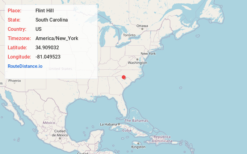
Distance to Flint Hill, South Carolina

Calculating Your Route
Just a moment while we process your request...
Location Information
-
Full AddressFlint Hill, Rock Hill, SC 29730
-
Coordinates34.9090322, -81.0495232
-
LocationRock Hill , South Carolina , US
-
TimezoneAmerica/New_York
-
Current Local Time1:33:46 AM America/New_YorkSaturday, May 31, 2025
-
Page Views0
Nearby Places
Found 10 places within 50 miles

Rock Hill
1.6 mi
2.6 km
Rock Hill, SC
Get directions

Old Point Station
3.5 mi
5.6 km
Old Point Station, Rock Hill, SC 29732
Get directions
Miller Crossing
5.2 mi
8.4 km
Miller Crossing, Rock Hill, SC 29732
Get directions
Lesslie
5.4 mi
8.7 km
Lesslie, SC
Get directions

Newport
6.3 mi
10.1 km
Newport, SC
Get directions
India Hook
7.0 mi
11.3 km
India Hook, SC 29732
Get directions
Edgemoor
7.5 mi
12.1 km
Edgemoor, SC 29712
Get directions
Riverview
7.9 mi
12.7 km
Riverview, SC 29708
Get directions

Tega Cay
8.1 mi
13.0 km
Tega Cay, SC 29708
Get directions

Catawba
8.7 mi
14.0 km
Catawba, SC
Get directions
Location Links
Local Weather
Weather Information
Coming soon!
Location Map
Static map view of Flint Hill, South Carolina
Browse Places by Distance
Places within specific distances from Flint Hill
Short Distances
Long Distances
Click any distance to see all places within that range from Flint Hill. Distances shown in miles (1 mile ≈ 1.61 kilometers).