Distance to Florenceville, Iowa

Calculating Your Route
Just a moment while we process your request...
Location Information
-
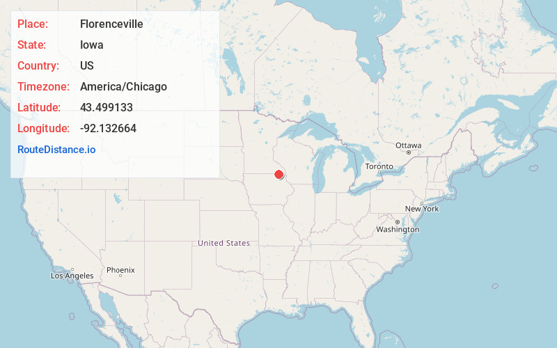
Full AddressFlorenceville, IA 52136
-
Coordinates43.4991326, -92.1326644
-
LocationFlorenceville , Iowa , US
-
TimezoneAmerica/Chicago
-
Current Local Time11:59:57 AM America/ChicagoTuesday, June 3, 2025
-
Page Views0
About Florenceville
Florenceville is an unincorporated community located in Howard County, Iowa, United States. It is adjacent to the village of Granger, Minnesota.
Nearby Places
Found 10 places within 50 miles

Granger
0.4 mi
0.6 km
Granger, MN 55939
Get directions
Bristol
3.6 mi
5.8 km
Bristol, MN 55939
Get directions
Bonair
6.1 mi
9.8 km
Bonair, IA 52155
Get directions
Kendallville
6.4 mi
10.3 km
Kendallville, IA 52136
Get directions
Greenleafton
6.8 mi
10.9 km
Greenleafton, MN 55965
Get directions

Harmony
7.5 mi
12.1 km
Harmony, MN 55939
Get directions

Cresco
8.2 mi
13.2 km
Cresco, IA 52136
Get directions

Lime Springs
8.2 mi
13.2 km
Lime Springs, IA 52155
Get directions
Hutton
9.2 mi
14.8 km
Hutton, Preston Township, MN 55965
Get directions

Cherry Grove
9.9 mi
15.9 km
Cherry Grove, MN 55975
Get directions
Location Links
Local Weather
Weather Information
Coming soon!
Location Map
Static map view of Florenceville, Iowa
Browse Places by Distance
Places within specific distances from Florenceville
Short Distances
Long Distances
Click any distance to see all places within that range from Florenceville. Distances shown in miles (1 mile ≈ 1.61 kilometers).