Distance to Lime Springs, Iowa

Calculating Your Route
Just a moment while we process your request...
Location Information
-
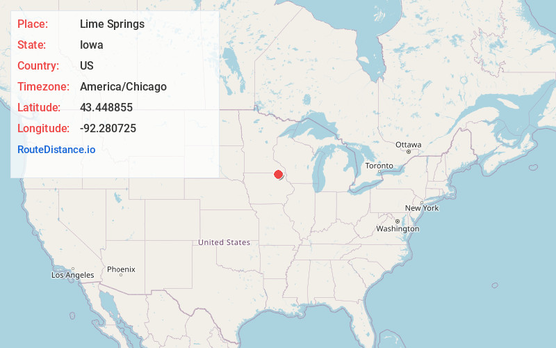
Full AddressLime Springs, IA 52155
-
Coordinates43.4488554, -92.2807251
-
LocationLime Springs , Iowa , US
-
TimezoneAmerica/Chicago
-
Current Local Time12:26:50 PM America/ChicagoSunday, June 15, 2025
-
Page Views0
About Lime Springs
Lime Springs is a city in Howard County, Iowa, United States. The population was 473 at the time of the 2020 census.


Nearby Places
Found 10 places within 50 miles

Cresco
9.6 mi
15.4 km
Cresco, IA 52136
Get directions

Le Roy
11.9 mi
19.2 km
Le Roy, MN 55951
Get directions

Riceville
14.9 mi
24.0 km
Riceville, IA 50466
Get directions

Harmony
15.6 mi
25.1 km
Harmony, MN 55939
Get directions

Elma
16.0 mi
25.7 km
Elma, IA 50628
Get directions

Spring Valley
17.3 mi
27.8 km
Spring Valley, MN 55975
Get directions

Canton
18.2 mi
29.3 km
Canton, MN 55922
Get directions

Preston
18.4 mi
29.6 km
Preston, MN 55965
Get directions

Fountain
21.7 mi
34.9 km
Fountain, MN 55935
Get directions

Grand Meadow
23.0 mi
37.0 km
Grand Meadow, MN 55936
Get directions
Location Links
Local Weather
Weather Information
Coming soon!
Location Map
Static map view of Lime Springs, Iowa
Browse Places by Distance
Places within specific distances from Lime Springs
Short Distances
Long Distances
Click any distance to see all places within that range from Lime Springs. Distances shown in miles (1 mile ≈ 1.61 kilometers).