Distance to Florey, Texas
Location Information
-
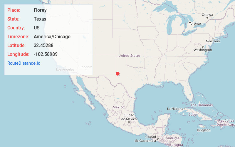
Full AddressFlorey, TX 79714
-
Coordinates32.4528796, -102.5898904
-
LocationTexas , US
-
TimezoneAmerica/Chicago
-
Current Local Time8:49:27 PM America/ChicagoFriday, May 16, 2025
-
Page Views0
About Florey
Florey is an unincorporated community in Andrews County, in the U.S. state of Texas. According to the Handbook of Texas, the community had a population of 25 in 2000. It is located within the Andrews, Texas micropolitan area.
Nearby Places
Found 10 places within 50 miles

Andrews
9.6 mi
15.4 km
Andrews, TX 79714
Get directions

McKinney Acres
11.3 mi
18.2 km
McKinney Acres, TX 79714
Get directions
Frankel City
12.2 mi
19.6 km
Frankel City, TX
Get directions

Seminole
18.7 mi
30.1 km
Seminole, TX 79360
Get directions
Sand
29.9 mi
48.1 km
Sand, TX 79331
Get directions
Jones City
31.3 mi
50.4 km
Jones City, NM 88231
Get directions

Gardendale
32.3 mi
52.0 km
Gardendale, TX 79758
Get directions

Goldsmith
32.7 mi
52.6 km
Goldsmith, TX 79741
Get directions
Maypens
33.4 mi
53.8 km
Maypens, NM 88231
Get directions
White City
33.5 mi
53.9 km
White City, TX
Get directions
Location Links
Local Weather
Weather Information
Coming soon!
Location Map
Static map view of Florey, Texas
Browse Places by Distance
Places within specific distances from Florey
Short Distances
Long Distances
Click any distance to see all places within that range from Florey. Distances shown in miles (1 mile ≈ 1.61 kilometers).