Distance to Florida Keys, Florida

Calculating Your Route
Just a moment while we process your request...
Location Information
-
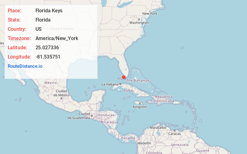
Full AddressFlorida Keys, Florida
-
Coordinates25.0273356, -81.5357506
-
LocationFlorida , US
-
TimezoneAmerica/New_York
-
Current Local Time7:36:31 PM America/New_YorkTuesday, June 3, 2025
-
Page Views0


Nearby Places
Found 10 places within 50 miles

Cudjoe Key
24.7 mi
39.8 km
Cudjoe Key, FL
Get directions

Upper Sugarloaf Key
25.5 mi
41.0 km
Upper Sugarloaf Key, FL 33042
Get directions

Summerland Key
25.9 mi
41.7 km
Summerland Key, FL 33042
Get directions

Perky
26.3 mi
42.3 km
Perky, FL 33042
Get directions

Big Pine Key
27.2 mi
43.8 km
Big Pine Key, FL 33043
Get directions

Sugarloaf Key
27.8 mi
44.7 km
Sugarloaf Key, Florida
Get directions
Ohio Missouri Channel
30.7 mi
49.4 km
Ohio Missouri Channel, Florida
Get directions

Big Coppitt Key
30.8 mi
49.6 km
Big Coppitt Key, FL 33040
Get directions

Cape Sable
31.0 mi
49.9 km
Cape Sable, Florida
Get directions

Stock Island
34.2 mi
55.0 km
Stock Island, FL 33040
Get directions
Location Links
Local Weather
Weather Information
Coming soon!
Location Map
Static map view of Florida Keys, Florida
Browse Places by Distance
Places within specific distances from Florida Keys
Short Distances
Long Distances
Click any distance to see all places within that range from Florida Keys. Distances shown in miles (1 mile ≈ 1.61 kilometers).