Distance to Floss, Arkansas

Calculating Your Route
Just a moment while we process your request...
Location Information
-
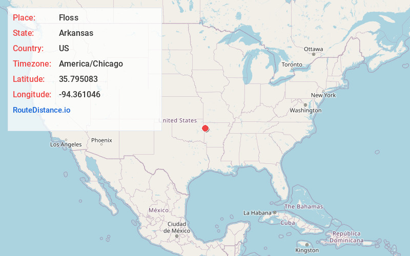
Full AddressFloss, AR 72753
-
Coordinates35.7950825, -94.3610455
-
LocationArkansas , US
-
TimezoneAmerica/Chicago
-
Current Local Time10:58:47 AM America/ChicagoFriday, June 20, 2025
-
Page Views0
About Floss
Floss is an unincorporated community in Boston Township in southwestern Washington County, Arkansas, United States. The community is located on Cove Creek. Odell is to the southwest and Strickler lies to the northeast.
Nearby Places
Found 10 places within 50 miles

Morrow
6.1 mi
9.8 km
Morrow, AR
Get directions

Evansville
7.6 mi
12.2 km
Evansville, AR 72729
Get directions

Canehill
8.1 mi
13.0 km
Canehill, AR
Get directions

Lincoln
11.1 mi
17.9 km
Lincoln, AR 72744
Get directions
Elm Grove
11.1 mi
17.9 km
Elm Grove, OK 74960
Get directions

Winslow
12.7 mi
20.4 km
Winslow, AR 72959
Get directions

Prairie Grove
12.7 mi
20.4 km
Prairie Grove, AR
Get directions
Piney
12.8 mi
20.6 km
Piney, OK
Get directions

Chester
13.0 mi
20.9 km
Chester, AR 72934
Get directions
Honey Hill Branch
13.1 mi
21.1 km
Honey Hill Branch, Bell, OK 74960
Get directions
Location Links
Local Weather
Weather Information
Coming soon!
Location Map
Static map view of Floss, Arkansas
Browse Places by Distance
Places within specific distances from Floss
Short Distances
Long Distances
Click any distance to see all places within that range from Floss. Distances shown in miles (1 mile ≈ 1.61 kilometers).