Distance to Floyd, Virginia

Calculating Your Route
Just a moment while we process your request...
Location Information
-
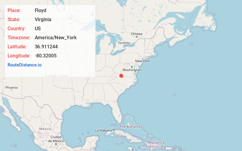
Full AddressFloyd, VA 24091
-
Coordinates36.9112443, -80.3200502
-
LocationFloyd , Virginia , US
-
TimezoneAmerica/New_York
-
Current Local Time6:18:45 AM America/New_YorkWednesday, June 18, 2025
-
Page Views0
About Floyd
Floyd is a town in Floyd County, Virginia, United States. The population was 448 at the 2020 census. It is the county seat of Floyd County. The Town of Floyd was originally named Jacksonville as the surrounding county was formed during the tenure of President Andrew Jackson.


Nearby Places
Found 10 places within 50 miles

Riner
12.6 mi
20.3 km
Riner, VA 24149
Get directions

Christiansburg
15.9 mi
25.6 km
Christiansburg, VA 24073
Get directions

Ferrum
17.0 mi
27.4 km
Ferrum, VA 24088
Get directions

Plum Creek
18.0 mi
29.0 km
Plum Creek, VA
Get directions

Shawsville
18.1 mi
29.1 km
Shawsville, VA
Get directions

Stuart
19.2 mi
30.9 km
Stuart, VA 24171
Get directions

Patrick Springs
19.9 mi
32.0 km
Patrick Springs, VA
Get directions
Merrimac
20.0 mi
32.2 km
Merrimac, VA
Get directions
Belview
20.7 mi
33.3 km
Belview, VA
Get directions

Radford
20.8 mi
33.5 km
Radford, VA
Get directions
Location Links
Local Weather
Weather Information
Coming soon!
Location Map
Static map view of Floyd, Virginia
Browse Places by Distance
Places within specific distances from Floyd
Short Distances
Long Distances
Click any distance to see all places within that range from Floyd. Distances shown in miles (1 mile ≈ 1.61 kilometers).