Distance to Floydada, Texas

Calculating Your Route
Just a moment while we process your request...
Location Information
-
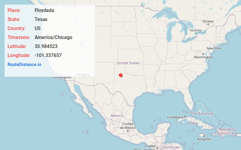
Full AddressFloydada, TX 79235
-
Coordinates33.9845232, -101.3376574
-
LocationFloydada , Texas , US
-
TimezoneAmerica/Chicago
-
Current Local Time3:34:34 AM America/ChicagoSunday, June 22, 2025
-
Page Views0
About Floydada
Floydada is a city in and the county seat of Floyd County, Texas, United States. This rural community lies on the high plains of the Llano Estacado in West Texas and is sometimes referred to as the Pumpkin Capital of Texas.


Nearby Places
Found 6 places within 50 miles

Plainview
25.3 mi
40.7 km
Plainview, TX 79072
Get directions

Abernathy
30.8 mi
49.6 km
Abernathy, TX 79311
Get directions

Lubbock
40.9 mi
65.8 km
Lubbock, TX
Get directions

Slaton
41.7 mi
67.1 km
Slaton, TX 79364
Get directions

Shallowater
43.1 mi
69.4 km
Shallowater, TX 79363
Get directions

Tulia
45.0 mi
72.4 km
Tulia, TX 79088
Get directions
Location Links
Local Weather
Weather Information
Coming soon!
Location Map
Static map view of Floydada, Texas
Browse Places by Distance
Places within specific distances from Floydada
Short Distances
Long Distances
Click any distance to see all places within that range from Floydada. Distances shown in miles (1 mile ≈ 1.61 kilometers).