Distance to Floyds Crossroads, South Carolina

Calculating Your Route
Just a moment while we process your request...
Location Information
-
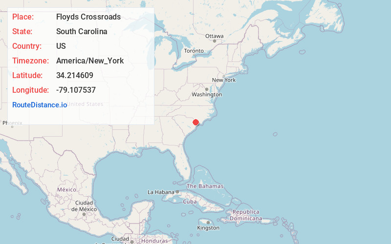
Full AddressFloyds Crossroads, SC 29581
-
Coordinates34.2146094, -79.1075369
-
LocationSouth Carolina , US
-
TimezoneAmerica/New_York
-
Current Local Time5:45:56 AM America/New_YorkWednesday, June 18, 2025
-
Page Views0
Nearby Places
Found 10 places within 50 miles

Nichols
2.7 mi
4.3 km
Nichols, SC 29581
Get directions

Duford
3.0 mi
4.8 km
Duford, SC 29581
Get directions
Causey
3.4 mi
5.5 km
Causey, SC 29581
Get directions
Mt Olive
6.3 mi
10.1 km
Mt Olive, SC 29581
Get directions

Fair Bluff
8.0 mi
12.9 km
Fair Bluff, NC
Get directions
Ketchuptown
8.3 mi
13.4 km
Ketchuptown, SC 29581
Get directions

Mullins
8.4 mi
13.5 km
Mullins, SC 29574
Get directions
Gapway
8.9 mi
14.3 km
Gapway, SC 29574
Get directions
Kemper
9.4 mi
15.1 km
Kemper, SC 29563
Get directions
May Hilltop
9.6 mi
15.4 km
May Hilltop, SC 29563
Get directions
Location Links
Local Weather
Weather Information
Coming soon!
Location Map
Static map view of Floyds Crossroads, South Carolina
Browse Places by Distance
Places within specific distances from Floyds Crossroads
Short Distances
Long Distances
Click any distance to see all places within that range from Floyds Crossroads. Distances shown in miles (1 mile ≈ 1.61 kilometers).