Distance to Flushing, Ohio

Calculating Your Route
Just a moment while we process your request...
Location Information
-
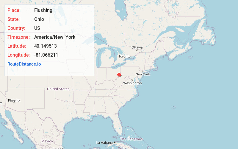
Full AddressFlushing, OH 43977
-
Coordinates40.1495133, -81.0662112
-
LocationFlushing , Ohio , US
-
TimezoneAmerica/New_York
-
Current Local Time3:49:32 AM America/New_YorkTuesday, July 1, 2025
-
Page Views0
About Flushing
Flushing is a village in Belmont County, Ohio, United States. The population was 830 at the 2020 census.

Nearby Places
Found 10 places within 50 miles

Bethesda
9.2 mi
14.8 km
Bethesda, OH 43719
Get directions

Cadiz
9.3 mi
15.0 km
Cadiz, OH 43907
Get directions

St Clairsville
9.9 mi
15.9 km
St Clairsville, OH 43950
Get directions

Barnesville
12.6 mi
20.3 km
Barnesville, OH 43713
Get directions

Hopedale
14.9 mi
24.0 km
Hopedale, OH 43976
Get directions
Dillonvale
15.7 mi
25.3 km
Dillonvale, OH
Get directions
Neffs
15.7 mi
25.3 km
Neffs, OH 43906
Get directions

Bridgeport
18.1 mi
29.1 km
Bridgeport, OH 43912
Get directions

Martins Ferry
18.4 mi
29.6 km
Martins Ferry, OH 43935
Get directions

Wheeling
19.2 mi
30.9 km
Wheeling, WV 26003
Get directions
Location Links
Local Weather
Weather Information
Coming soon!
Location Map
Static map view of Flushing, Ohio
Browse Places by Distance
Places within specific distances from Flushing
Short Distances
Long Distances
Click any distance to see all places within that range from Flushing. Distances shown in miles (1 mile ≈ 1.61 kilometers).