Distance to Fly, Tennessee

Calculating Your Route
Just a moment while we process your request...
Location Information
-
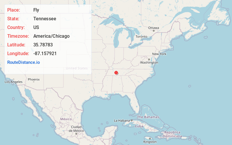
Full AddressFly, TN 38482
-
Coordinates35.78783, -87.157921
-
LocationFly , Tennessee , US
-
TimezoneAmerica/Chicago
-
Current Local Time3:22:59 PM America/ChicagoTuesday, May 20, 2025
-
Page Views0
About Fly
Fly is an unincorporated community in Maury County, Tennessee. It is along the Natchez Trace Parkway, south of Nashville. The small valley known as Fly Hollow is between Fly and the Natchez Trace.
Nearby Places
Found 10 places within 50 miles

Santa Fe
4.0 mi
6.4 km
Santa Fe, TN 38482
Get directions
Johnsons Mill
4.2 mi
6.8 km
Johnsons Mill, TN 38476
Get directions
Mill Seat
4.4 mi
7.1 km
Mill Seat, TN 38476
Get directions
Smarden
5.2 mi
8.4 km
Smarden, TN 37064
Get directions
Theta
6.1 mi
9.8 km
Theta, TN 38401
Get directions
Arkland
8.1 mi
13.0 km
Arkland, TN 38487
Get directions
Sawdust
8.5 mi
13.7 km
Sawdust, TN 38401
Get directions
Craigfield
8.8 mi
14.2 km
Craigfield, TN 37025
Get directions
Little Rock Mills
8.9 mi
14.3 km
Little Rock Mills, TN 37098
Get directions
Gant
9.1 mi
14.6 km
Gant, TN 38401
Get directions
Location Links
Local Weather
Weather Information
Coming soon!
Location Map
Static map view of Fly, Tennessee
Browse Places by Distance
Places within specific distances from Fly
Short Distances
Long Distances
Click any distance to see all places within that range from Fly. Distances shown in miles (1 mile ≈ 1.61 kilometers).