Distance to and from Folletts, Iowa
Folletts, IA 52730
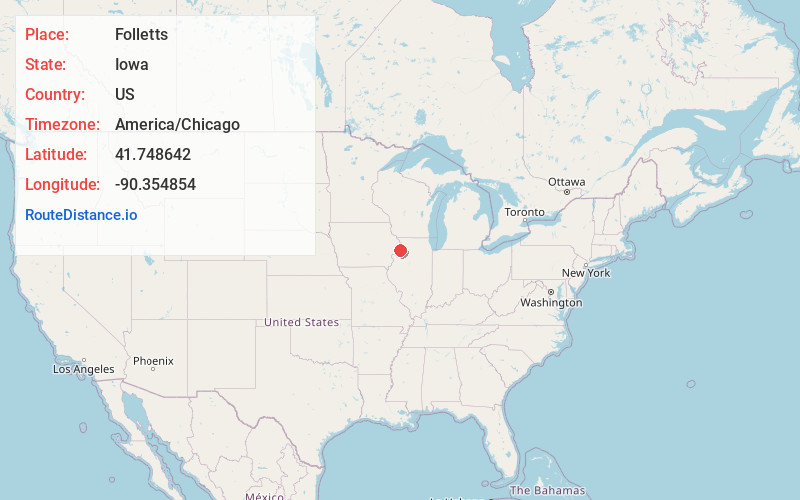
Folletts
Iowa
US
America/Chicago
Location Information
-
Full AddressFolletts, IA 52730
-
Coordinates41.7486423, -90.3548536
-
LocationFolletts , Iowa , US
-
TimezoneAmerica/Chicago
-
Current Local Time10:19:15 AM America/ChicagoTuesday, May 6, 2025
-
Page Views0
Directions to Nearest Cities
About Folletts
Folletts is an unincorporated community in Clinton County, Iowa, United States. It is located at the intersections of 292nd Street and County Highway Z36 on the north bank of the Wapsipinicon River. It is one mile west of Shaffton and three miles east of McCausland, at 41.750099N, -90.354990W.
Nearby Places
Found 10 places within 50 miles

Low Moor
3.7 mi
6.0 km
Low Moor, IA
Get directions

McCausland
4.6 mi
7.4 km
McCausland, IA
Get directions

Cordova
5.1 mi
8.2 km
Cordova, IL 61242
Get directions

Princeton
5.1 mi
8.2 km
Princeton, IA
Get directions

Camanche
5.8 mi
9.3 km
Camanche, IA
Get directions

Albany
7.5 mi
12.1 km
Albany, IL 61230
Get directions
Argo
9.4 mi
15.1 km
Argo, IA
Get directions

Port Byron
9.9 mi
15.9 km
Port Byron, IL 61275
Get directions

Le Claire
10.5 mi
16.9 km
Le Claire, IA 52753
Get directions

Park View
10.5 mi
16.9 km
Park View, IA
Get directions
Low Moor
3.7 mi
6.0 km
Low Moor, IA
McCausland
4.6 mi
7.4 km
McCausland, IA
Cordova
5.1 mi
8.2 km
Cordova, IL 61242
Princeton
5.1 mi
8.2 km
Princeton, IA
Camanche
5.8 mi
9.3 km
Camanche, IA
Albany
7.5 mi
12.1 km
Albany, IL 61230
Argo
9.4 mi
15.1 km
Argo, IA
Port Byron
9.9 mi
15.9 km
Port Byron, IL 61275
Le Claire
10.5 mi
16.9 km
Le Claire, IA 52753
Park View
10.5 mi
16.9 km
Park View, IA
Location Links
Local Weather
Weather Information
Coming soon!
Location Map
Static map view of Folletts, Iowa
Browse Places by Distance
Places within specific distances from Folletts
Short Distances
Long Distances
Click any distance to see all places within that range from Folletts. Distances shown in miles (1 mile ≈ 1.61 kilometers).