Distance to Forest Grove, Minnesota

Calculating Your Route
Just a moment while we process your request...
Location Information
-
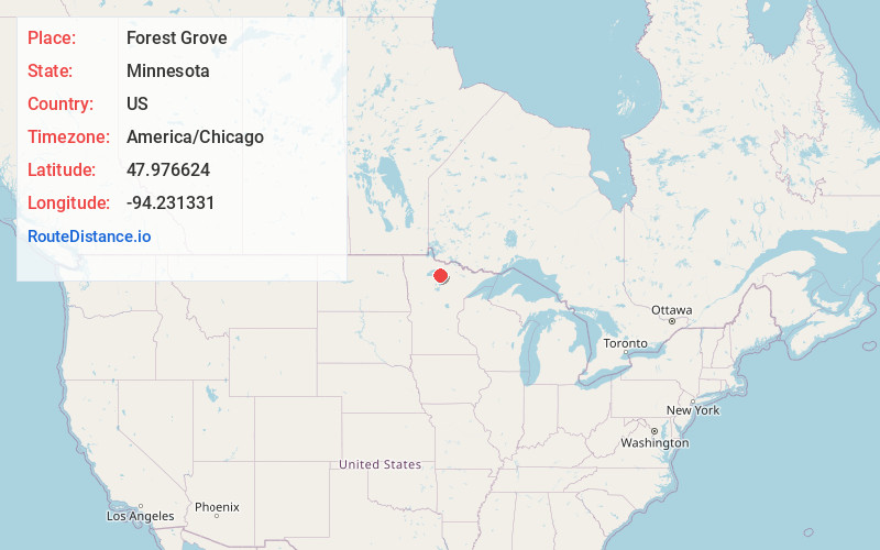
Full AddressForest Grove, MN 56660
-
Coordinates47.9766241, -94.2313311
-
LocationForest Grove , Minnesota , US
-
TimezoneAmerica/Chicago
-
Current Local Time9:01:06 AM America/ChicagoThursday, May 29, 2025
-
Page Views0
About Forest Grove
Forest Grove is an unincorporated community in Koochiching County, Minnesota, United States; located within the Pine Island State Forest. The community is located north of Mizpah and west of Gemmell, along Koochiching County Road 17.
U.S. Highway 71 and County Road 36 are also nearby.
Nearby Places
Found 10 places within 50 miles

Mizpah
3.8 mi
6.1 km
Mizpah, MN
Get directions

Northome
7.5 mi
12.1 km
Northome, MN 56661
Get directions
Pinetop
7.7 mi
12.4 km
Pinetop, MN 56660
Get directions
Orth
10.3 mi
16.6 km
Orth, MN 56661
Get directions

Kelliher
10.3 mi
16.6 km
Kelliher, MN 56650
Get directions
Shooks
11.9 mi
19.2 km
Shooks, MN 56661
Get directions
Bergville
13.2 mi
21.2 km
Bergville, MN 56661
Get directions
Wildwood
13.6 mi
21.9 km
Wildwood, MN 56661
Get directions
Margie
15.7 mi
25.3 km
Margie, MN 56658
Get directions

Funkley
16.2 mi
26.1 km
Funkley, MN 56630
Get directions
Location Links
Local Weather
Weather Information
Coming soon!
Location Map
Static map view of Forest Grove, Minnesota
Browse Places by Distance
Places within specific distances from Forest Grove
Short Distances
Long Distances
Click any distance to see all places within that range from Forest Grove. Distances shown in miles (1 mile ≈ 1.61 kilometers).