Distance to Forest Heights, Texas

Calculating Your Route
Just a moment while we process your request...
Location Information
-
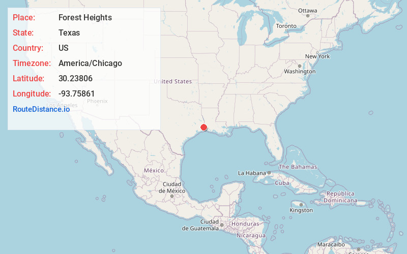
Full AddressForest Heights, TX 77632
-
Coordinates30.23806, -93.75861
-
LocationForest Heights , Texas , US
-
TimezoneAmerica/Chicago
-
Current Local Time7:24:17 AM America/ChicagoSunday, June 22, 2025
-
Page Views0
About Forest Heights
Forest Heights is an unincorporated community and census designated place in Orange County, Texas, United States. It is located immediately east of State Highway 87 in northeastern Orange County, approximately five miles north of Little Cypress and eight miles north of Orange.
Nearby Places
Found 10 places within 50 miles

Little Cypress
5.1 mi
8.2 km
Little Cypress, TX 77632
Get directions

Mauriceville
6.9 mi
11.1 km
Mauriceville, TX 77632
Get directions

Orange
10.1 mi
16.3 km
Orange, TX
Get directions
West Orange
10.8 mi
17.4 km
West Orange, TX 77630
Get directions

Vinton
11.1 mi
17.9 km
Vinton, LA 70668
Get directions

Bridge City
15.9 mi
25.6 km
Bridge City, TX
Get directions

Vidor
17.0 mi
27.4 km
Vidor, TX 77662
Get directions
Buna
18.1 mi
29.1 km
Buna, TX 77612
Get directions

Port Neches
20.8 mi
33.5 km
Port Neches, TX
Get directions

Groves
22.2 mi
35.7 km
Groves, TX 77619
Get directions
Location Links
Local Weather
Weather Information
Coming soon!
Location Map
Static map view of Forest Heights, Texas
Browse Places by Distance
Places within specific distances from Forest Heights
Short Distances
Long Distances
Click any distance to see all places within that range from Forest Heights. Distances shown in miles (1 mile ≈ 1.61 kilometers).