Distance to Forestdale, Ohio

Calculating Your Route
Just a moment while we process your request...
Location Information
-
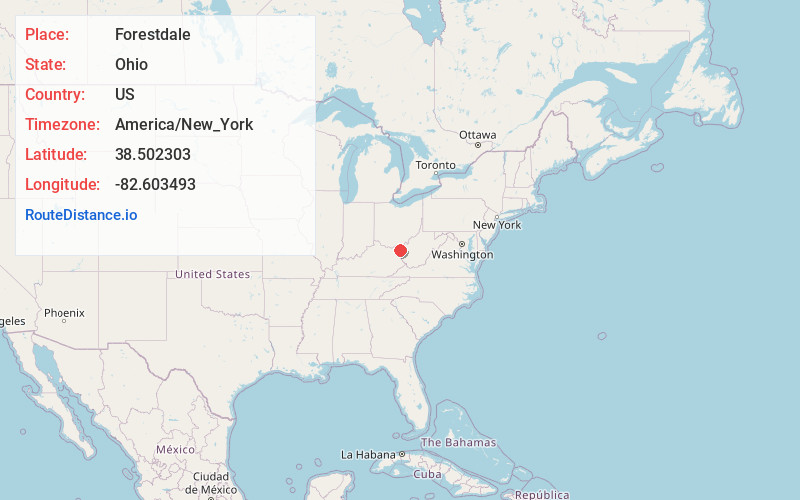
Full AddressForestdale, Perry Township, OH 45638
-
Coordinates38.5023031, -82.6034933
-
LocationPerry Township , Ohio , US
-
TimezoneAmerica/New_York
-
Current Local Time4:30:16 AM America/New_YorkMonday, May 19, 2025
-
Page Views0
Nearby Places
Found 10 places within 50 miles

Deering
1.1 mi
1.8 km
Deering, Perry Township, OH 45638
Get directions

Coal Grove
2.4 mi
3.9 km
Coal Grove, OH 45638
Get directions

Ashland
2.4 mi
3.9 km
Ashland, KY
Get directions
Sunrise
3.2 mi
5.1 km
Sunrise, OH 45680
Get directions
Rock Camp
3.5 mi
5.6 km
Rock Camp, OH 45638
Get directions
Hecla
3.8 mi
6.1 km
Hecla, Upper Township, OH 45638
Get directions
Westwood
3.8 mi
6.1 km
Westwood, KY
Get directions

Kitts Hill
4.3 mi
6.9 km
Kitts Hill, OH 45645
Get directions
Coryville
4.4 mi
7.1 km
Coryville, Upper Township, OH 45638
Get directions
Bellefonte
4.7 mi
7.6 km
Bellefonte, KY 41101
Get directions
Location Links
Local Weather
Weather Information
Coming soon!
Location Map
Static map view of Forestdale, Ohio
Browse Places by Distance
Places within specific distances from Forestdale
Short Distances
Long Distances
Click any distance to see all places within that range from Forestdale. Distances shown in miles (1 mile ≈ 1.61 kilometers).