Distance to Hecla, Ohio

Calculating Your Route
Just a moment while we process your request...
Location Information
-
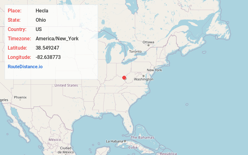
Full AddressHecla, Upper Township, OH 45638
-
Coordinates38.549247, -82.6387725
-
LocationUpper Township , Ohio , US
-
TimezoneAmerica/New_York
-
Current Local Time1:14:17 AM America/New_YorkWednesday, June 25, 2025
-
Page Views0
Nearby Places
Found 10 places within 50 miles

Ironton
2.5 mi
4.0 km
Ironton, OH 45638
Get directions

Coal Grove
3.2 mi
5.1 km
Coal Grove, OH 45638
Get directions

Ellisonville
3.8 mi
6.1 km
Ellisonville, OH 45659
Get directions

Russell
3.9 mi
6.3 km
Russell, KY
Get directions
Vesuvius Furnace
4.0 mi
6.4 km
Vesuvius Furnace, Elizabeth Township, OH 45659
Get directions

Hanging Rock
4.5 mi
7.2 km
Hanging Rock, OH 45638
Get directions

Flatwoods
4.6 mi
7.4 km
Flatwoods, KY
Get directions
Worthington
4.6 mi
7.4 km
Worthington, KY
Get directions
Royersville
4.7 mi
7.6 km
Royersville, OH 45638
Get directions
Bellefonte
4.8 mi
7.7 km
Bellefonte, KY 41101
Get directions
Location Links
Local Weather
Weather Information
Coming soon!
Location Map
Static map view of Hecla, Ohio
Browse Places by Distance
Places within specific distances from Hecla
Short Distances
Long Distances
Click any distance to see all places within that range from Hecla. Distances shown in miles (1 mile ≈ 1.61 kilometers).