Distance to and from Hanging Rock, Ohio
Hanging Rock, OH 45638
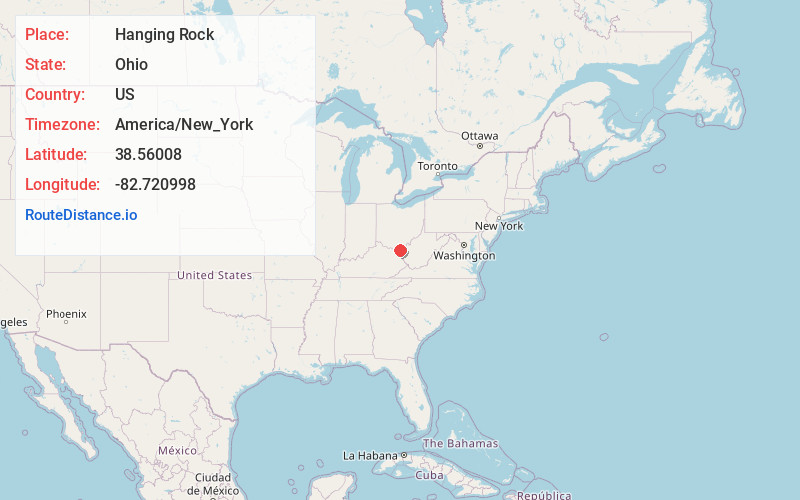
Hanging Rock
Ohio
US
America/New_York
Location Information
-
Full AddressHanging Rock, OH 45638
-
Coordinates38.56008, -82.7209975
-
LocationHanging Rock , Ohio , US
-
TimezoneAmerica/New_York
-
Current Local Time4:10:03 PM America/New_YorkSunday, May 4, 2025
-
Page Views0
Directions to Nearest Cities
About Hanging Rock
Hanging Rock is a village in Lawrence County, Ohio, United States, along the Ohio River. The population was 204 at the 2020 census.
Hanging Rock is a part of the Huntington-Ashland, WV-KY-OH, Metropolitan Statistical Area.


Nearby Places
Found 10 places within 50 miles

Worthington
0.8 mi
1.3 km
Worthington, KY
Get directions

Raceland
1.4 mi
2.3 km
Raceland, KY
Get directions

Flatwoods
2.6 mi
4.2 km
Flatwoods, KY
Get directions

Ironton
2.6 mi
4.2 km
Ironton, OH 45638
Get directions

Wurtland
3.1 mi
5.0 km
Wurtland, KY 41144
Get directions

Russell
3.2 mi
5.1 km
Russell, KY
Get directions
Bellefonte
5.0 mi
8.0 km
Bellefonte, KY 41101
Get directions

Coal Grove
5.6 mi
9.0 km
Coal Grove, OH 45638
Get directions

Greenup
6.0 mi
9.7 km
Greenup, KY 41144
Get directions
Westwood
6.0 mi
9.7 km
Westwood, KY
Get directions
Worthington
0.8 mi
1.3 km
Worthington, KY
Raceland
1.4 mi
2.3 km
Raceland, KY
Flatwoods
2.6 mi
4.2 km
Flatwoods, KY
Ironton
2.6 mi
4.2 km
Ironton, OH 45638
Wurtland
3.1 mi
5.0 km
Wurtland, KY 41144
Russell
3.2 mi
5.1 km
Russell, KY
Bellefonte
5.0 mi
8.0 km
Bellefonte, KY 41101
Coal Grove
5.6 mi
9.0 km
Coal Grove, OH 45638
Greenup
6.0 mi
9.7 km
Greenup, KY 41144
Westwood
6.0 mi
9.7 km
Westwood, KY
Location Links
Local Weather
Weather Information
Coming soon!
Location Map
Static map view of Hanging Rock, Ohio
Browse Places by Distance
Places within specific distances from Hanging Rock
Short Distances
Long Distances
Click any distance to see all places within that range from Hanging Rock. Distances shown in miles (1 mile ≈ 1.61 kilometers).