Distance to Wurtland, Kentucky

Calculating Your Route
Just a moment while we process your request...
Location Information
-
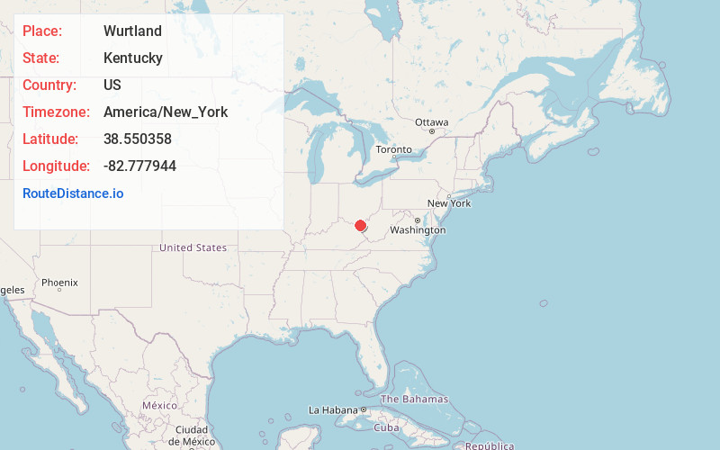
Full AddressWurtland, KY 41144
-
Coordinates38.5503577, -82.7779437
-
LocationWurtland , Kentucky , US
-
TimezoneAmerica/New_York
-
Current Local Time7:11:18 PM America/New_YorkFriday, June 20, 2025
-
Page Views0
About Wurtland
Wurtland is a home rule-class city in Greenup County, Kentucky, United States, along the Ohio River. The population was 983 at the 2020 census. It is part of the Huntington–Ashland metropolitan area.
The northern terminus of the Industrial Parkway is at U.S. Route 23 in Wurtland.


Nearby Places
Found 10 places within 50 miles

Raceland
2.8 mi
4.5 km
Raceland, KY
Get directions

Worthington
2.9 mi
4.7 km
Worthington, KY
Get directions

Flatwoods
3.8 mi
6.1 km
Flatwoods, KY
Get directions

Russell
4.9 mi
7.9 km
Russell, KY
Get directions

Ironton
5.2 mi
8.4 km
Ironton, OH 45638
Get directions
Franklin Furnace
6.0 mi
9.7 km
Franklin Furnace, OH
Get directions
Bellefonte
6.2 mi
10.0 km
Bellefonte, KY 41101
Get directions
Westwood
7.5 mi
12.1 km
Westwood, KY
Get directions

Coal Grove
7.8 mi
12.6 km
Coal Grove, OH 45638
Get directions

Ashland
9.0 mi
14.5 km
Ashland, KY
Get directions
Location Links
Local Weather
Weather Information
Coming soon!
Location Map
Static map view of Wurtland, Kentucky
Browse Places by Distance
Places within specific distances from Wurtland
Short Distances
Long Distances
Click any distance to see all places within that range from Wurtland. Distances shown in miles (1 mile ≈ 1.61 kilometers).