Distance to Fork Union, Virginia

Calculating Your Route
Just a moment while we process your request...
Location Information
-
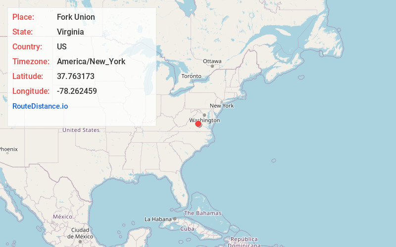
Full AddressFork Union, VA
-
Coordinates37.7631725, -78.2624594
-
LocationFork Union , Virginia , US
-
TimezoneAmerica/New_York
-
Current Local Time6:44:10 PM America/New_YorkFriday, June 20, 2025
-
Page Views0
About Fork Union
Fork Union is an unincorporated community in southern Fluvanna County, Virginia, along U.S. Highway 15. Its ZIP code is 23055; the population within that ZIP code was 1148 according to the 2000 Census.
Nearby Places
Found 10 places within 50 miles

New Canton
4.5 mi
7.2 km
New Canton, VA 23123
Get directions

Columbia
5.5 mi
8.9 km
Columbia, VA 23038
Get directions

Palmyra
6.8 mi
10.9 km
Palmyra, VA 22963
Get directions
Wilmington
6.8 mi
10.9 km
Wilmington, VA 22963
Get directions
Lesueur
7.5 mi
12.1 km
Lesueur, VA 23004
Get directions
Cunningham
8.3 mi
13.4 km
Cunningham, VA 22963
Get directions
Penlan
8.9 mi
14.3 km
Penlan, VA 23004
Get directions
Nahor
11.1 mi
17.9 km
Nahor, VA 22963
Get directions

Lake Monticello
11.1 mi
17.9 km
Lake Monticello, VA 22963
Get directions
Pemberton
11.5 mi
18.5 km
Pemberton, VA 23063
Get directions
Location Links
Local Weather
Weather Information
Coming soon!
Location Map
Static map view of Fork Union, Virginia
Browse Places by Distance
Places within specific distances from Fork Union
Short Distances
Long Distances
Click any distance to see all places within that range from Fork Union. Distances shown in miles (1 mile ≈ 1.61 kilometers).