Distance to Fort Adams State Park, Rhode Island

Calculating Your Route
Just a moment while we process your request...
Location Information
-
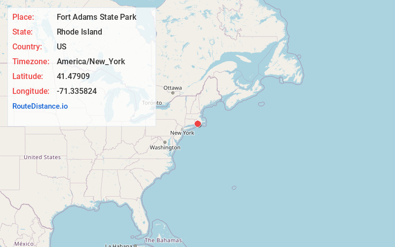
Full AddressFort Adams State Park, 80 Fort Adams Dr, Newport, RI 02840
-
Coordinates41.4790898, -71.3358244
-
Street80 Fort Adams Dr
-
LocationNewport , Rhode Island , US
-
TimezoneAmerica/New_York
-
Current Local Time4:51:54 PM America/New_YorkWednesday, May 21, 2025
-
Website
-
Page Views0
About Fort Adams State Park
Park on the site of a 19th-century fort, with sailing, swimming & the Newport jazz & folk festivals.


Nearby Places
Found 10 places within 50 miles

Newport
1.5 mi
2.4 km
Newport, RI
Get directions

Jamestown
2.2 mi
3.5 km
Jamestown, RI
Get directions

Easton Beach
2.4 mi
3.9 km
Easton Beach, Rhode Island 02840
Get directions

Clarks Village
3.1 mi
5.0 km
Clarks Village, Jamestown, RI 02835
Get directions
Whitehall
3.9 mi
6.3 km
Whitehall, Middletown, RI 02842
Get directions

Middletown
4.0 mi
6.4 km
Middletown, RI
Get directions
South Ferry
4.5 mi
7.2 km
South Ferry, Narragansett, RI 02874
Get directions

Bonnet Shores Beach
4.7 mi
7.6 km
Bonnet Shores Beach, Narragansett, RI 02882
Get directions
Sachuest
4.9 mi
7.9 km
Sachuest, Middletown, RI 02842
Get directions
Bridgetown
5.7 mi
9.2 km
Bridgetown, Narragansett, RI 02882
Get directions
Location Links
Local Weather
Weather Information
Coming soon!
Location Map
Static map view of Fort Adams State Park, Rhode Island
Browse Places by Distance
Places within specific distances from Fort Adams State Park
Short Distances
Long Distances
Click any distance to see all places within that range from Fort Adams State Park. Distances shown in miles (1 mile ≈ 1.61 kilometers).