Distance to Fort Bridger, Wyoming

Calculating Your Route
Just a moment while we process your request...
Location Information
-
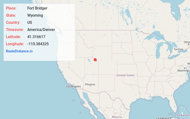
Full AddressFort Bridger, WY 82933
-
Coordinates41.3166168, -110.3843251
-
LocationFort Bridger , Wyoming , US
-
TimezoneAmerica/Denver
-
Current Local Time2:14:01 PM America/DenverSaturday, May 31, 2025
-
Page Views0
About Fort Bridger
Fort Bridger is a census-designated place in eastern Uinta County, Wyoming, United States. The population was 354 at the 2020 census. The community takes its name from the eponymous Fort Bridger, established in 1842, which is located within the boundaries of the CDP.


Nearby Places
Found 10 places within 50 miles

Mountain View
4.0 mi
6.4 km
Mountain View, WY 82933
Get directions

Lyman
4.8 mi
7.7 km
Lyman, WY 82937
Get directions

Granger
28.8 mi
46.3 km
Granger, WY 82934
Get directions

Evanston
30.2 mi
48.6 km
Evanston, WY 82930
Get directions

Diamondville
33.0 mi
53.1 km
Diamondville, WY
Get directions

Bear River
33.6 mi
54.1 km
Bear River, WY 82930
Get directions

Kemmerer
33.8 mi
54.4 km
Kemmerer, WY 83101
Get directions

Manila
41.2 mi
66.3 km
Manila, UT 84046
Get directions

Woodruff
42.7 mi
68.7 km
Woodruff, UT 84086
Get directions
East Basin Creek
46.6 mi
75.0 km
East Basin Creek, Utah
Get directions
Location Links
Local Weather
Weather Information
Coming soon!
Location Map
Static map view of Fort Bridger, Wyoming
Browse Places by Distance
Places within specific distances from Fort Bridger
Short Distances
Long Distances
Click any distance to see all places within that range from Fort Bridger. Distances shown in miles (1 mile ≈ 1.61 kilometers).