Distance to and from Fort Davis, District of Columbia
Fort Davis, Washington, DC 20020
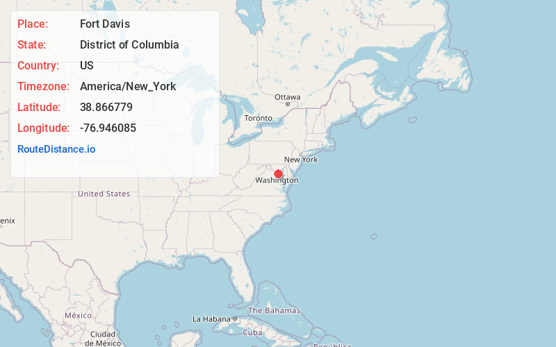
Washington
District of Columbia
US
America/New_York
Location Information
-
Full AddressFort Davis, Washington, DC 20020
-
Coordinates38.8667792, -76.9460854
-
NeighborhoodSoutheast Washington
-
LocationWashington , District of Columbia , US
-
TimezoneAmerica/New_York
-
Current Local Time7:01:44 PM America/New_YorkSaturday, May 3, 2025
-
Page Views0
Directions to Nearest Cities
Coral Hills
Coral Hills, MD 20743
1.0 mi
Dupont Heights
Dupont Heights, Suitland-Silver Hill, MD 20746
1.2 mi
Suitland Manor
Suitland Manor, Suitland-Silver Hill, MD 20746
1.4 mi
Suitland-Silver Hill
Suitland-Silver Hill, MD
1.8 mi
Capitol Heights
Capitol Heights, MD 20743
2.1 mi
Hillcrest Heights
Hillcrest Heights, MD
2.4 mi
About Fort Davis
Fort Davis is a residential neighborhood located in southeast Washington, D.C., on the border between the District of Columbia and Maryland. It is bounded by Southern Avenue, Pennsylvania Avenue SE, and Alabama Avenue SE/Bowen Road SE.
Fort Davis Park abuts the western corner of the neighborhood.
Nearby Places
Found 10 places within 50 miles

Coral Hills
1.0 mi
1.6 km
Coral Hills, MD 20743
Get directions
Dupont Heights
1.2 mi
1.9 km
Dupont Heights, Suitland-Silver Hill, MD 20746
Get directions
Suitland Manor
1.4 mi
2.3 km
Suitland Manor, Suitland-Silver Hill, MD 20746
Get directions

Suitland-Silver Hill
1.8 mi
2.9 km
Suitland-Silver Hill, MD
Get directions

Capitol Heights
2.1 mi
3.4 km
Capitol Heights, MD 20743
Get directions
Hillcrest Heights
2.4 mi
3.9 km
Hillcrest Heights, MD
Get directions
Maryland Park
2.6 mi
4.2 km
Maryland Park, MD 20743
Get directions
Marlow Heights
2.7 mi
4.3 km
Marlow Heights, MD
Get directions
Fairmount Heights
2.9 mi
4.7 km
Fairmount Heights, MD 20743
Get directions
Berkshire
3.0 mi
4.8 km
Berkshire, MD 20747
Get directions
Coral Hills
1.0 mi
1.6 km
Coral Hills, MD 20743
Dupont Heights
1.2 mi
1.9 km
Dupont Heights, Suitland-Silver Hill, MD 20746
Suitland Manor
1.4 mi
2.3 km
Suitland Manor, Suitland-Silver Hill, MD 20746
Suitland-Silver Hill
1.8 mi
2.9 km
Suitland-Silver Hill, MD
Capitol Heights
2.1 mi
3.4 km
Capitol Heights, MD 20743
Hillcrest Heights
2.4 mi
3.9 km
Hillcrest Heights, MD
Maryland Park
2.6 mi
4.2 km
Maryland Park, MD 20743
Marlow Heights
2.7 mi
4.3 km
Marlow Heights, MD
Fairmount Heights
2.9 mi
4.7 km
Fairmount Heights, MD 20743
Berkshire
3.0 mi
4.8 km
Berkshire, MD 20747
Location Links
Local Weather
Weather Information
Coming soon!
Location Map
Static map view of Fort Davis, District of Columbia
Browse Places by Distance
Places within specific distances from Fort Davis
Short Distances
Long Distances
Click any distance to see all places within that range from Fort Davis. Distances shown in miles (1 mile ≈ 1.61 kilometers).