Distance to Marlow Heights, Maryland

Calculating Your Route
Just a moment while we process your request...
Location Information
-
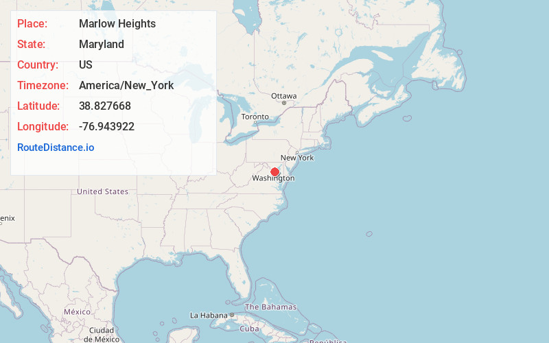
Full AddressMarlow Heights, MD
-
Coordinates38.827668, -76.9439221
-
LocationMarlow Heights , Maryland , US
-
TimezoneAmerica/New_York
-
Current Local Time7:33:37 PM America/New_YorkWednesday, July 2, 2025
-
Page Views0
About Marlow Heights
Marlow Heights is an unincorporated area and census-designated place in Prince George's County, Maryland, United States. The population was 6,169 at the 2020 census. The Marlow Heights Shopping Center first opened in 1957, adjacent to the large community of Hillcrest Heights.
Nearby Places
Found 10 places within 50 miles

Hillcrest Heights
0.9 mi
1.4 km
Hillcrest Heights, MD
Get directions

Temple Hills
0.9 mi
1.4 km
Temple Hills, MD
Get directions

Suitland-Silver Hill
1.7 mi
2.7 km
Suitland-Silver Hill, MD
Get directions
Camp Springs
2.6 mi
4.2 km
Camp Springs, MD
Get directions
Glassmanor
2.7 mi
4.3 km
Glassmanor, MD 20745
Get directions

Oxon Hill
3.0 mi
4.8 km
Oxon Hill, MD
Get directions
Coral Hills
3.2 mi
5.1 km
Coral Hills, MD 20743
Get directions
Forestville
3.9 mi
6.3 km
Forestville, MD
Get directions

Walker Mill
4.6 mi
7.4 km
Walker Mill, MD
Get directions

Clinton
5.0 mi
8.0 km
Clinton, MD
Get directions
Location Links
Local Weather
Weather Information
Coming soon!
Location Map
Static map view of Marlow Heights, Maryland
Browse Places by Distance
Places within specific distances from Marlow Heights
Short Distances
Long Distances
Click any distance to see all places within that range from Marlow Heights. Distances shown in miles (1 mile ≈ 1.61 kilometers).