Distance to Fort Downer, Kansas

Calculating Your Route
Just a moment while we process your request...
Location Information
-
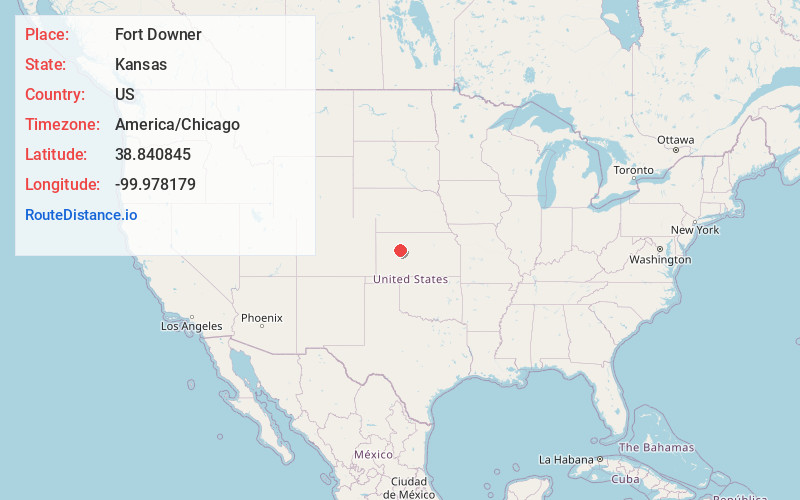
Full AddressFort Downer, Franklin Township, KS 67572
-
Coordinates38.8408447, -99.9781787
-
LocationFranklin Township , Kansas , US
-
TimezoneAmerica/Chicago
-
Current Local Time6:44:19 PM America/ChicagoThursday, June 12, 2025
-
Page Views0
Nearby Places
Found 10 places within 50 miles

Trego Center
5.6 mi
9.0 km
Trego Center, Wakeeney Township, KS 67672
Get directions

WaKeeney
13.8 mi
22.2 km
WaKeeney, KS 67672
Get directions
Alanthus
14.1 mi
22.7 km
Alanthus, KS 67584
Get directions

Ransom
14.3 mi
23.0 km
Ransom, KS 67572
Get directions
Osgood
14.6 mi
23.5 km
Osgood, Nevada Township, KS 67572
Get directions
Collyer
15.4 mi
24.8 km
Collyer, KS 67631
Get directions
Ogallah
16.7 mi
26.9 km
Ogallah, KS 67656
Get directions
Utica
17.1 mi
27.5 km
Utica, KS 67584
Get directions

Brownell
18.7 mi
30.1 km
Brownell, KS 67521
Get directions
Riga
19.2 mi
30.9 km
Riga, Glencoe Township, KS 67637
Get directions
Location Links
Local Weather
Weather Information
Coming soon!
Location Map
Static map view of Fort Downer, Kansas
Browse Places by Distance
Places within specific distances from Fort Downer
Short Distances
Long Distances
Click any distance to see all places within that range from Fort Downer. Distances shown in miles (1 mile ≈ 1.61 kilometers).