Distance to Fort Hill, Massachusetts

Calculating Your Route
Just a moment while we process your request...
Location Information
-
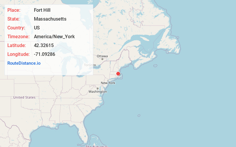
Full AddressFort Hill, Boston, MA
-
Coordinates42.3261495, -71.0928603
-
NeighborhoodFort Hill
-
LocationBoston , Massachusetts , US
-
TimezoneAmerica/New_York
-
Current Local Time9:16:37 AM America/New_YorkMonday, June 2, 2025
-
Page Views0
About Fort Hill
Fort Hill is a 0.4 square mile neighborhood and historic district of Roxbury, in Boston, Massachusetts. The approximate boundaries of Fort Hill are Malcolm X Boulevard on the north, Washington Street on the southeast, and Columbus Avenue on the southwest.


Nearby Places
Found 10 places within 50 miles

Brookline
1.5 mi
2.4 km
Brookline, MA
Get directions

Washington Square
2.4 mi
3.9 km
Washington Square, Brookline, MA
Get directions

Beaconsfield
2.6 mi
4.2 km
Beaconsfield, Brookline, MA 02445
Get directions

Boston
2.7 mi
4.3 km
Boston, MA
Get directions

Cambridge
2.9 mi
4.7 km
Cambridge, MA
Get directions

Somerville
4.3 mi
6.9 km
Somerville, MA
Get directions
Milton Upper Mills
4.5 mi
7.2 km
Milton Upper Mills, Milton, MA 02186
Get directions
Milton Center
5.0 mi
8.0 km
Milton Center, Milton, MA 02186
Get directions

Milton
5.5 mi
8.9 km
Milton, MA
Get directions

Chelsea
5.5 mi
8.9 km
Chelsea, MA 02150
Get directions
Location Links
Local Weather
Weather Information
Coming soon!
Location Map
Static map view of Fort Hill, Massachusetts
Browse Places by Distance
Places within specific distances from Fort Hill
Short Distances
Long Distances
Click any distance to see all places within that range from Fort Hill. Distances shown in miles (1 mile ≈ 1.61 kilometers).