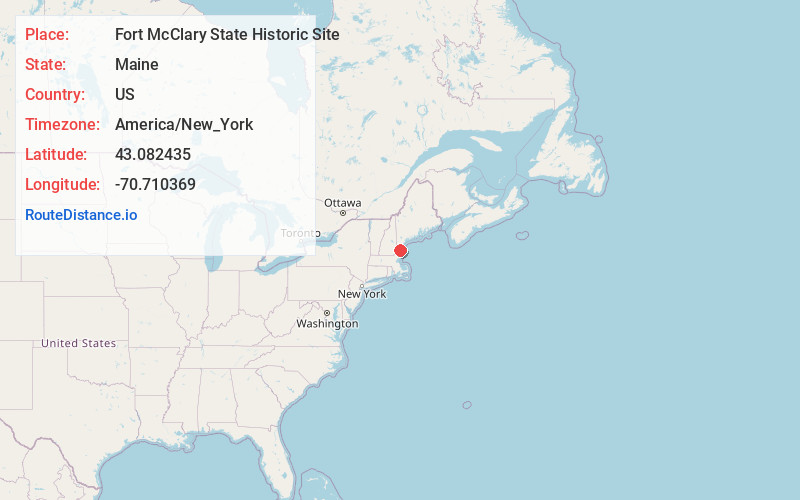
Distance to Fort McClary State Historic Site, Maine

Calculating Your Route
Just a moment while we process your request...
Location Information
-
Full AddressFort McClary State Historic Site, Pepperrell Rd, Kittery Point, ME 03905
-
Coordinates43.0824349, -70.710369
-
StreetPepperrell Rd
-
NeighborhoodKittery Point
-
LocationKittery Point , Maine , US
-
TimezoneAmerica/New_York
-
Current Local Time4:34:53 PM America/New_YorkFriday, June 6, 2025
-
Page Views0
About Fort McClary State Historic Site
State historic site in picturesque surrounds known for its colonial-era military history.


Nearby Places
Found 10 places within 50 miles

New Castle
0.7 mi
1.1 km
New Castle, NH
Get directions

Kittery
2.0 mi
3.2 km
Kittery, ME
Get directions

Bedell Crossing
2.3 mi
3.7 km
Bedell Crossing, Kittery, ME 03905
Get directions

Portsmouth
2.4 mi
3.9 km
Portsmouth, NH 03801
Get directions
Cutts Island
2.4 mi
3.9 km
Cutts Island, Kittery, ME 03905
Get directions

Creek Area
3.3 mi
5.3 km
Creek Area, Portsmouth, NH 03801
Get directions
Fairhill Manor
3.6 mi
5.8 km
Fairhill Manor, Rye, NH 03870
Get directions
South Side
3.9 mi
6.3 km
South Side, York, ME 03909
Get directions

Wallis Sands Beach
3.9 mi
6.3 km
Wallis Sands Beach, Rye, NH
Get directions
Seabury
4.1 mi
6.6 km
Seabury, York, ME 03909
Get directions
Location Links
Local Weather
Weather Information
Coming soon!
Location Map
Static map view of Fort McClary State Historic Site, Maine
Browse Places by Distance
Places within specific distances from Fort McClary State Historic Site
Short Distances
Long Distances
Click any distance to see all places within that range from Fort McClary State Historic Site. Distances shown in miles (1 mile ≈ 1.61 kilometers).