Distance to Fort McKinley, Ohio

Calculating Your Route
Just a moment while we process your request...
Location Information
-
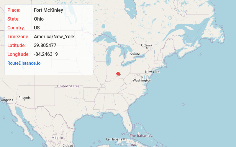
Full AddressFort McKinley, OH
-
Coordinates39.8054768, -84.2463188
-
LocationFort McKinley , Ohio , US
-
TimezoneAmerica/New_York
-
Current Local Time7:07:41 PM America/New_YorkTuesday, June 3, 2025
-
Page Views0
About Fort McKinley
Fort McKinley is an unincorporated community and census-designated place in Harrison Township in Montgomery County, Ohio, United States. As of the 2020 census, its population was 3,473.
Fort McKinley is part of the Dayton Metropolitan Statistical Area.
Fort McKinley was platted in 1914.
Nearby Places
Found 10 places within 50 miles

Northridge
2.7 mi
4.3 km
Northridge, OH 45414
Get directions

Trotwood
3.5 mi
5.6 km
Trotwood, OH
Get directions

Dayton
4.2 mi
6.8 km
Dayton, OH
Get directions

Englewood
5.8 mi
9.3 km
Englewood, OH
Get directions

Vandalia
6.4 mi
10.3 km
Vandalia, OH
Get directions

Riverside
6.7 mi
10.8 km
Riverside, OH
Get directions

Huber Heights
7.0 mi
11.3 km
Huber Heights, OH
Get directions
Moraine
7.0 mi
11.3 km
Moraine, OH
Get directions

Union
7.1 mi
11.4 km
Union, OH
Get directions

Clayton
7.3 mi
11.7 km
Clayton, OH
Get directions
Location Links
Local Weather
Weather Information
Coming soon!
Location Map
Static map view of Fort McKinley, Ohio
Browse Places by Distance
Places within specific distances from Fort McKinley
Short Distances
Long Distances
Click any distance to see all places within that range from Fort McKinley. Distances shown in miles (1 mile ≈ 1.61 kilometers).