Distance to Fort Mitchell, Alabama

Calculating Your Route
Just a moment while we process your request...
Location Information
-
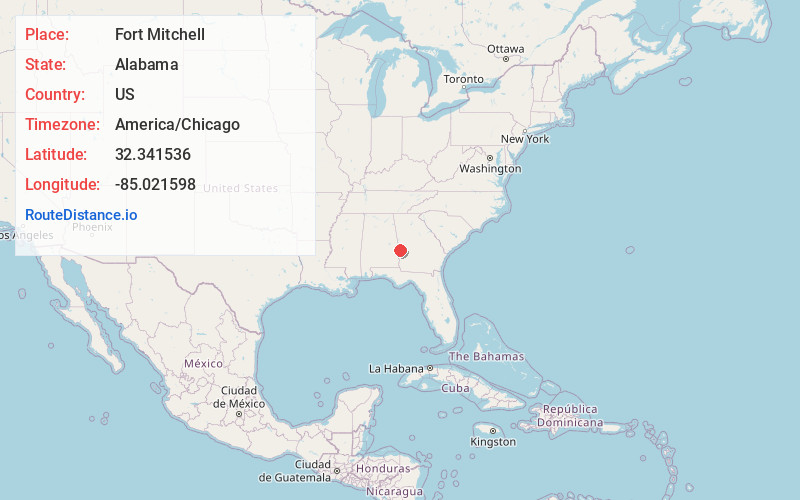
Full AddressFort Mitchell, AL 36856
-
Coordinates32.341536, -85.0215982
-
LocationFort Mitchell , Alabama , US
-
TimezoneAmerica/Chicago
-
Current Local Time11:34:24 AM America/ChicagoSaturday, June 7, 2025
-
Page Views0
About Fort Mitchell
Fort Mitchell is an unincorporated community in Russell County, Alabama, United States. The settlement developed around a garrisoned fort intended to provide defense for the area during the Creek War.


Nearby Places
Found 10 places within 50 miles

Flournoys
2.1 mi
3.4 km
Flournoys, AL 36869
Get directions
Oswichee
4.4 mi
7.1 km
Oswichee, AL 36856
Get directions
Lato
4.9 mi
7.9 km
Lato, AL 36875
Get directions
Battle Park
5.2 mi
8.4 km
Battle Park, Columbus, GA 31905
Get directions
Rolling Hills
7.2 mi
11.6 km
Rolling Hills, Phenix City, AL 36869
Get directions

Columbus
8.9 mi
14.3 km
Columbus, GA
Get directions

Phenix City
9.0 mi
14.5 km
Phenix City, AL
Get directions

Seale
9.1 mi
14.6 km
Seale, AL 36875
Get directions

Ladonia
9.4 mi
15.1 km
Ladonia, AL
Get directions
Loflin
10.0 mi
16.1 km
Loflin, AL 36871
Get directions
Location Links
Local Weather
Weather Information
Coming soon!
Location Map
Static map view of Fort Mitchell, Alabama
Browse Places by Distance
Places within specific distances from Fort Mitchell
Short Distances
Long Distances
Click any distance to see all places within that range from Fort Mitchell. Distances shown in miles (1 mile ≈ 1.61 kilometers).