Distance to Seale, Alabama

Calculating Your Route
Just a moment while we process your request...
Location Information
-
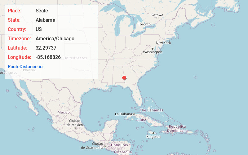
Full AddressSeale, AL 36875
-
Coordinates32.2973697, -85.1688255
-
LocationSeale , Alabama , US
-
TimezoneAmerica/Chicago
-
Current Local Time6:28:58 PM America/ChicagoThursday, June 12, 2025
-
Page Views0
About Seale
Seale is an unincorporated community in Russell County, Alabama, United States. It was the county seat from 1868 until 1935, and is currently home to Russell County High School and middle school. The former Russell County courthouse, built in 1868, is located in the town.


Nearby Places
Found 10 places within 50 miles

Hooks
8.2 mi
13.2 km
Hooks, AL 36871
Get directions
Oswichee
9.7 mi
15.6 km
Oswichee, AL 36856
Get directions
Loflin
10.5 mi
16.9 km
Loflin, AL 36871
Get directions
Flournoys
10.7 mi
17.2 km
Flournoys, AL 36869
Get directions
McLendon
10.8 mi
17.4 km
McLendon, AL 36871
Get directions

Crawford
11.1 mi
17.9 km
Crawford, AL 36870
Get directions
Rutherford
11.5 mi
18.5 km
Rutherford, AL 36860
Get directions

Glenville
11.7 mi
18.8 km
Glenville, AL 36871
Get directions
Cottonton
11.8 mi
19.0 km
Cottonton, AL 36871
Get directions
Uchee
12.0 mi
19.3 km
Uchee, AL 36860
Get directions
Location Links
Local Weather
Weather Information
Coming soon!
Location Map
Static map view of Seale, Alabama
Browse Places by Distance
Places within specific distances from Seale
Short Distances
Long Distances
Click any distance to see all places within that range from Seale. Distances shown in miles (1 mile ≈ 1.61 kilometers).