Distance to Fort Ogden, Florida

Calculating Your Route
Just a moment while we process your request...
Location Information
-
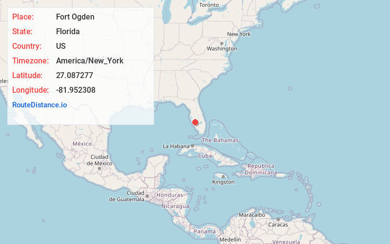
Full AddressFort Ogden, FL 34269
-
Coordinates27.0872769, -81.9523078
-
LocationFort Ogden , Florida , US
-
TimezoneAmerica/New_York
-
Current Local Time6:25:24 AM America/New_YorkWednesday, June 18, 2025
-
Page Views0
About Fort Ogden
Fort Ogden is an unincorporated community in DeSoto County, Florida, United States, located approximately 10 miles southwest of the city of Arcadia. U.S. Route 17 and the Fort Myers Division of the Seminole Gulf Railway pass through the community, and break away from each other.


Nearby Places
Found 10 places within 50 miles

Southfort
1.5 mi
2.4 km
Southfort, FL 34269
Get directions
Platt
3.1 mi
5.0 km
Platt, FL 34269
Get directions
Peace River Shores
4.0 mi
6.4 km
Peace River Shores, FL 33982
Get directions
Morgantown
5.7 mi
9.2 km
Morgantown, FL 33982
Get directions

Deep Creek
6.2 mi
10.0 km
Deep Creek, FL 33983
Get directions

Harbour Heights
7.3 mi
11.7 km
Harbour Heights, FL 33983
Get directions

Cleveland
9.2 mi
14.8 km
Cleveland, FL
Get directions
Tee and Green Estates
10.3 mi
16.6 km
Tee and Green Estates, Cleveland, FL 33982
Get directions

Arcadia
10.6 mi
17.1 km
Arcadia, FL 34266
Get directions

Solana
11.0 mi
17.7 km
Solana, FL 33950
Get directions
Location Links
Local Weather
Weather Information
Coming soon!
Location Map
Static map view of Fort Ogden, Florida
Browse Places by Distance
Places within specific distances from Fort Ogden
Short Distances
Long Distances
Click any distance to see all places within that range from Fort Ogden. Distances shown in miles (1 mile ≈ 1.61 kilometers).