Distance to and from Southfort, Florida
Southfort, FL 34269
Florida
US
America/New_York
Location Information
-
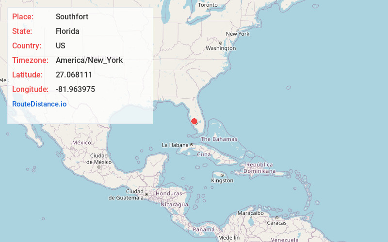
Full AddressSouthfort, FL 34269
-
Coordinates27.0681111, -81.963975
-
LocationFlorida , US
-
TimezoneAmerica/New_York
-
Current Local Time12:13:52 AM America/New_YorkSunday, May 4, 2025
-
Page Views0
Directions to Nearest Cities
About Southfort
Southfort is an unincorporated community in DeSoto County, Florida, United States, located approximately 1 mile south of Fort Ogden on U.S. Route 17.
Nearby Places
Found 10 places within 50 miles

Harbour Heights
5.8 mi
9.3 km
Harbour Heights, FL 33983
Get directions

Cleveland
7.7 mi
12.4 km
Cleveland, FL
Get directions

Solana
9.5 mi
15.3 km
Solana, FL 33950
Get directions

Punta Gorda
10.8 mi
17.4 km
Punta Gorda, FL
Get directions

Port Charlotte
11.7 mi
18.8 km
Port Charlotte, FL
Get directions

Arcadia
12.1 mi
19.5 km
Arcadia, FL 34266
Get directions

Pine Level
13.7 mi
22.0 km
Pine Level, FL 34266
Get directions

North Port
14.9 mi
24.0 km
North Port, FL
Get directions

Bermont
15.1 mi
24.3 km
Bermont, FL 33982
Get directions
Cubitis
15.3 mi
24.6 km
Cubitis, FL 34266
Get directions
Harbour Heights
5.8 mi
9.3 km
Harbour Heights, FL 33983
Cleveland
7.7 mi
12.4 km
Cleveland, FL
Solana
9.5 mi
15.3 km
Solana, FL 33950
Punta Gorda
10.8 mi
17.4 km
Punta Gorda, FL
Port Charlotte
11.7 mi
18.8 km
Port Charlotte, FL
Arcadia
12.1 mi
19.5 km
Arcadia, FL 34266
Pine Level
13.7 mi
22.0 km
Pine Level, FL 34266
North Port
14.9 mi
24.0 km
North Port, FL
Bermont
15.1 mi
24.3 km
Bermont, FL 33982
Cubitis
15.3 mi
24.6 km
Cubitis, FL 34266
Location Links
Local Weather
Weather Information
Coming soon!
Location Map
Static map view of Southfort, Florida
Browse Places by Distance
Places within specific distances from Southfort
Short Distances
Long Distances
Click any distance to see all places within that range from Southfort. Distances shown in miles (1 mile ≈ 1.61 kilometers).